Acts 16:11 states that Paul and his party (“we”) arrived in Neapolis by boat from Samothrace, a journey of more than 40 nautical miles. Unless the winds were extremely favorable, he would probably have spent the night in Neapolis before beginning the half-day journey to Philippi. There is no hint that he pursued his evangelistic calling in Neapolis at this time.
Neapolis (modern Kavala) had been the site of a Greek colony since the seventh century B.C. After the reorganization of nearby Philippi as a Roman colony, however, it had been demoted to a port within the territory of Philippi. The Via Egnatia which crossed Macedonia from the Adriatic Sea all the way to Byzantium passed through Neapolis just a couple hundred meters from the port area, just west of the small peninsula on which the Medieval fortress still stands today. Within minutes of his disembarking Paul could have been on the famous road and headed in the direction of Philippi.
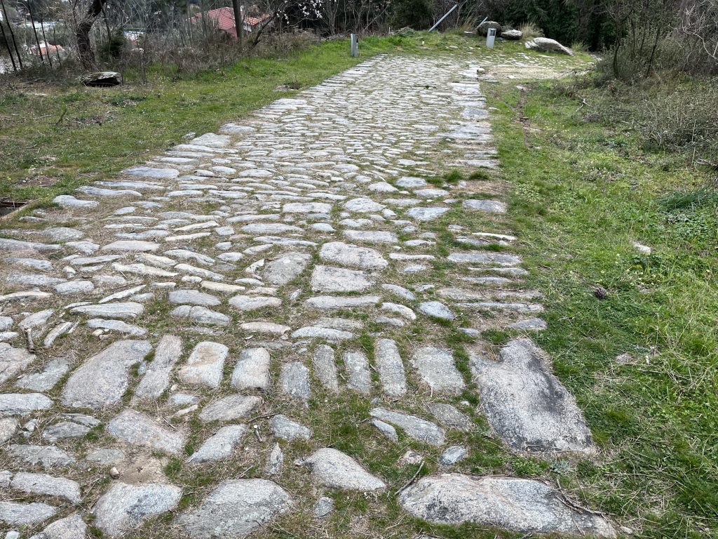
In a recent study, the Greek scholar Sappho Angeloudi-Zarkada reconstructed the path of the Via Egnatia as it passed through Neapolis related to the modern street plan.1 From the port, the party would have walked westwards about 500 m. along the harbor (on the path of the modern El. Venizelou) before turning away from the harbor on a route now under the modern Mitropoleos, Konstantinou Palaiologou, Konstantinou Tsolaki, Aristotle Stani, Thessaloniki, and Macedonia streets (see map). About 2.5 km after leaving the harbor, now well outside the walls, the VE climbs rapidly to the top of the coastal bluff. There is still a well-preserved 900 m section of medieval paving that delineates the ancient path. It ends just north of the modern hospital.
From this point the exact path of the next 700 m is uncertain, but it must have passed over the hill past the Holy Monastery of Saint Silas (with a marble plaque marking the traditional spot where Paul, Silas, Timothy, and Luke rested). A second section of ancient paving then appears, descending 450 m towards the village of Stavros.
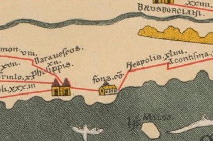
On the Peutinger Map, the stop for Neapolis (shown as a temple with a cupola) was marked as the Fons cō Neapolis. This has been interpreted as indicating a mutatio near a spring rather than in the city itself. Several hundred meters west of the point where the Via Egnatia arrives at the plain southwest of Vasilakis (Βασιλάκη) hill, there are some springs which have been active since ancient times. It is thought that these might be the “Fons” mentioned. Today they are known as the Loutra Eleftherion (Παλιό Υδραγωγείο Αμισιανών) hot springs (40.94787° N, 24.34543° E).
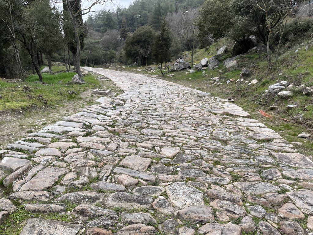
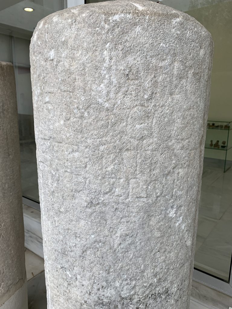
Once the VE is on the plain, It continues under the modern road (Egnatias). Then is passes just to the east of Vasilakis Hill into Amigdaleonas where a milestone, now in the Kavala Museum, was found in situ with the name of Egnatia and marking a distance of 6 RM from Philippi. Running beneath the entire length of the current Kappadokias Street for about 1 km, it then follows the path of Highway 12 for another 750 m. At the point where Highway 12 veers to the northwest, the ancient road continued straight beneath the current Palaia, “old,” Kavala-Drama road, now a secondary road.
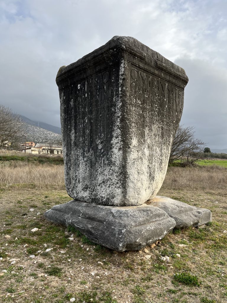
After a straight run northward for 5 km (beneath the modern secondary road), the road makes a curve to the west. By this point the party was already passing through the necropolis that extended from the eastern gate of the city and flanked the Via Egnatia. One can still see ruins of several tombs, including the four-meter-high funerary monument of Gaius Vibius Quartus erected on the north side of the VE. The tomb is sited at an angle to the passing road with duplicate inscriptions on the two adjacent sides so that it would be visible to those traveling in either direction. After the curve, the ancient road passed through the current village of Krinides beneath Agiou Christoforou street, and heads straight (after 1.8 km) to Philippi’s Eastern or Neapolis Gate.
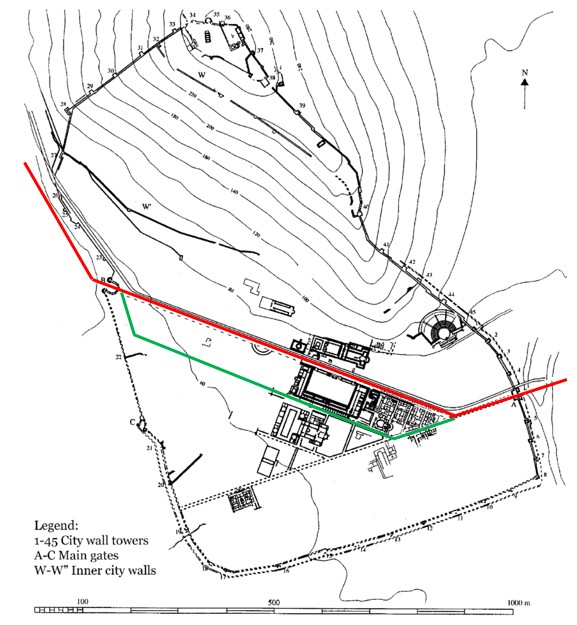
Colored lines added over original
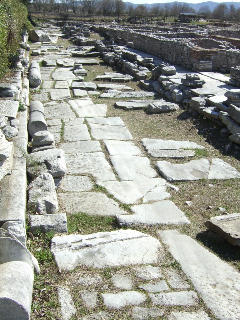
The city wall and main gates of Philippi date to the founding of the Hellenistic city in the fourth century B.C. Already at that time a road led through the center of town between the eastern Neapolis Gate and the northwestern Amphipolis Gate. In the second century B.C., this stretch was incorporated into the Via Egnatia and later would be made into the decumanus maximus when the city became a Roman colony (red line). From the Neapolis Gate, the road continues westward 150 m before veering to the northwest and running parallel to the steep slope on which the acropolis stood. 200 m later it continues straight across the northeastern edge of the Roman Forum and 600 m later passes out through the Amphipolis Gate. As the city grew, a secondary “commercial road” was enlarged to enable travelers to bypass the busy forum area (green line).
Created by GMT and JTS
Last updated 10-16-2025 JTS
- Αγγελούδι-Ζαρκάδα, Σαπφο. “Περιήγηση Στην Καβάλα Του 1835 Με Οδηγό Τον Wilhelm Chabert Von Ostland.” Πρακτικά Συνεδρίου Τοπικής Ιστορίας Της Πόλεως Καβάλας. Η Καβάλα Από Το 1835 Έως Το 1918, (Καβάλα: Δήμος Καβάλας, 2021): 34-64. pp. 60-64. ↩︎
- G. Vibius Quartus was a first-century-A.D. legionary soldier. See the Pleiades page for the tomb, the Latin inscription and the translation here, and an 1886 drawing and additional photos here. The inscription is CIL 3.647. ↩︎
- Kirilov, Chacdar. “The reduction of the fortified city area in late antiquity: some reflections on the end of the ‘antique city’ in the lands of the Eastern Roman Empire.” In Post-Roman Towns, Trade and Settlement in Europe and Byzantium, Vol. 2, 3-24. Edited by Joachim Henning. Berlin, New York: Walter De Gruyter, 2007, 6. ↩︎