[Note: This section has been examined in minute detail in our book: Glen L. Thompson and Mark Wilson, In This Way We Came to Rome: With Paul on the Appian Way (Lexham Press, 2024), pp. 128-183]
From Tres Tabernae northwards, the Via Appia continued perfectly straight (just as it had from Tarracina) for another 15.5 Roman miles (23 kilometers). Today however, the traveler can continue just 1.8 km. further north before the modern SS7 turns westward, to parallel some train tracks. The VA continued straight at this point and across the tracks its path is shown by Via Bufaloreccia, then Via Enrico Remi for another 1.75 kilometers. It then disappears beneath the streets of Cisterna di Latina for about 9.3 kilometers. When it emerges from the northern suburbs of the city it crosses beneath the SS7 and follows the appropriately named Via Appia Antica. The perfectly straight path follows that narrow road for another 10 kilometers, at times not even paved and at some points blocked (or the modern road making slight detours), and occasionally showing a few meters of ancient paving. Somewhere in this stretch would have been the mansio called ad Sponsas mentioned in the Jerusalem itinerary, and further north, another statio called Sublanuvium, which has also left no trace.
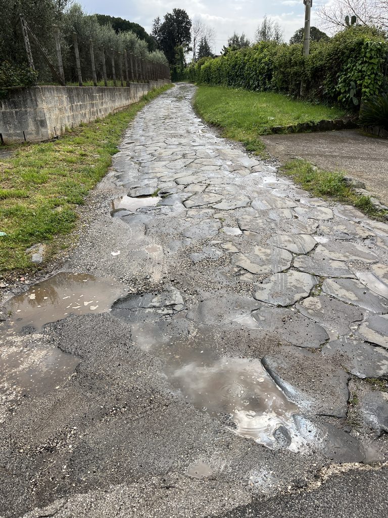
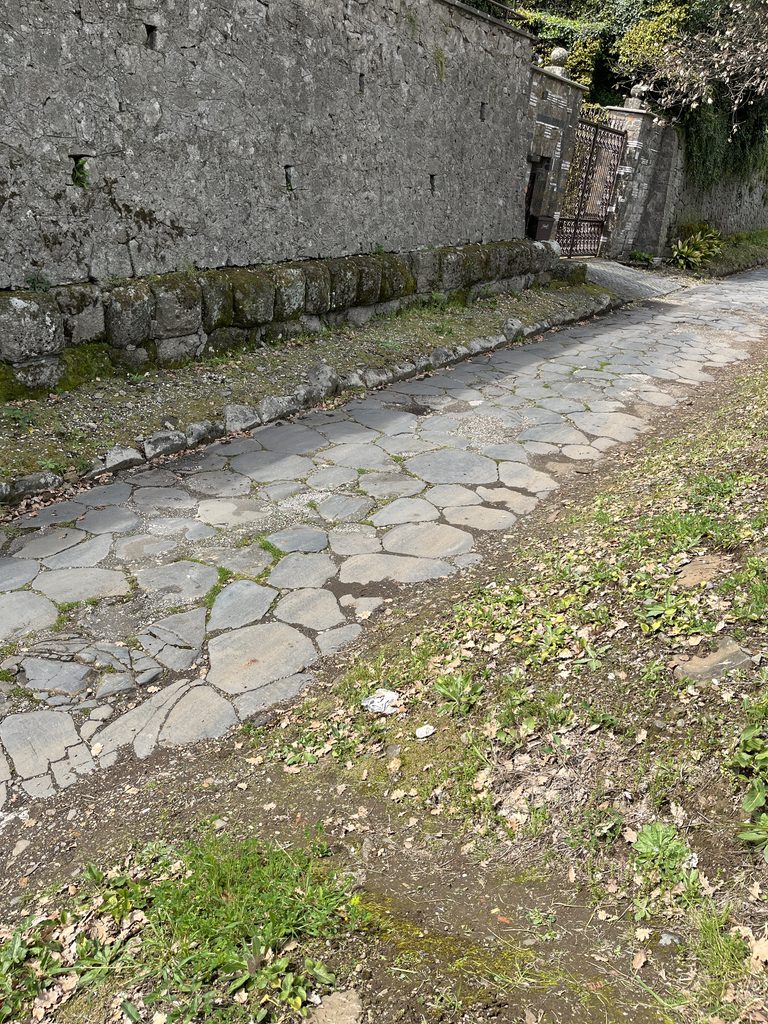
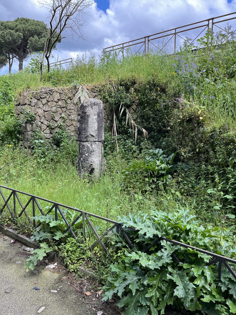
On the outskirts of Genzano di Roma, however, a nicely preserved stretch of 300 meters of ancient paving can be walked, ending again along the SS7. And, just 100 meters further, milestone 19 is still standing in its original location. From here the VA continued for the last 2.6 kilometers of the straight 60+ Roman mile stretch, first beneath the Via Emilia Romagna and then later beneath Via Alcide de Gasperi and Via Romana until it is blocked by the hill called Fontanaccio
Actually at this point the road had arrived at the top of the northeast side of a volcanic crater wall, and it is this geological feature that challenged the Roman engineers. To cross the crater they snaked the road down the side of the crater wall for 800 meters and then built a massive massive eight-meter-wide viaduct to take the road at an acceptable gradient the final 250 meters to the crater floor. This was the most impressive engineering feet of the entire Via Appia. Having descended, the party would have walked 100 meters more before entering the city of Ariccia. The gate they would have used has been partly excavated and is known today as the Porta Urbica.
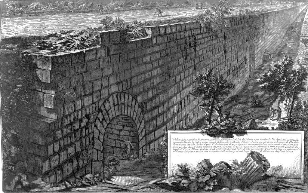
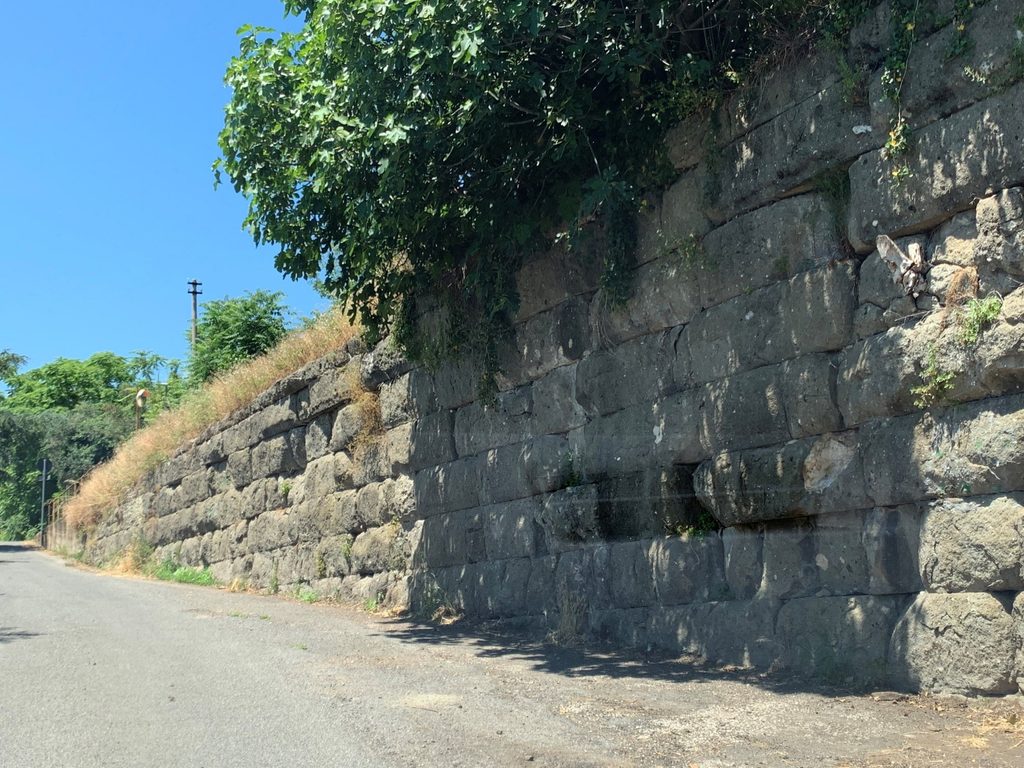
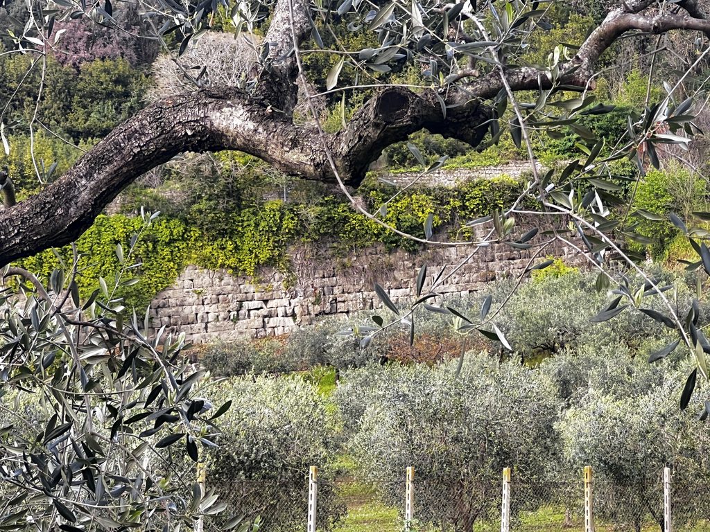
The Republican era city of Ariccia was perched on the northern edge of the crater a few hundred meters to the north. When the Via Appia was built to bypass the city, the city walls were extended down the hill to encompass the road. The modern Via Appia Antica traces the ancient route 400 meters across the floor of the crator and exits through a western gate. Milestone 16 was found along this stretch and a mansio was also located somewhere here. We hypothesize that Paul and his fellow-travelers spent their final night here.
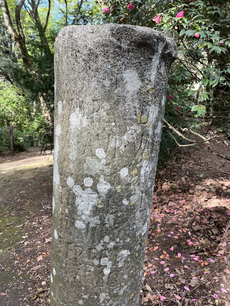
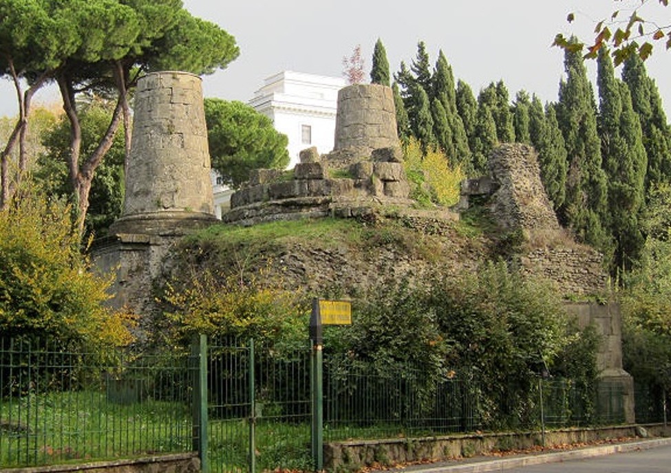
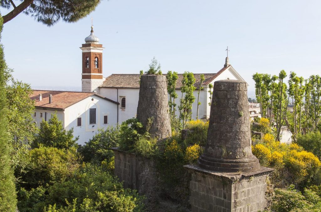
The next morning, as soon as they left through the western city gate the road began a gentle climb out of the west end of the crater. After 700 meters (still on the current Via Appia Antica) the road veered northwest (along the route of the modern SS7). On the left at this point is a huge Roman tomb with 3 pillars exuding from a massive base. Popularly known as the Tomb of the Horatii and Curiatii (two legendary feuding Republican families), it is probably the ostentatious tomb of a minor dignitary.
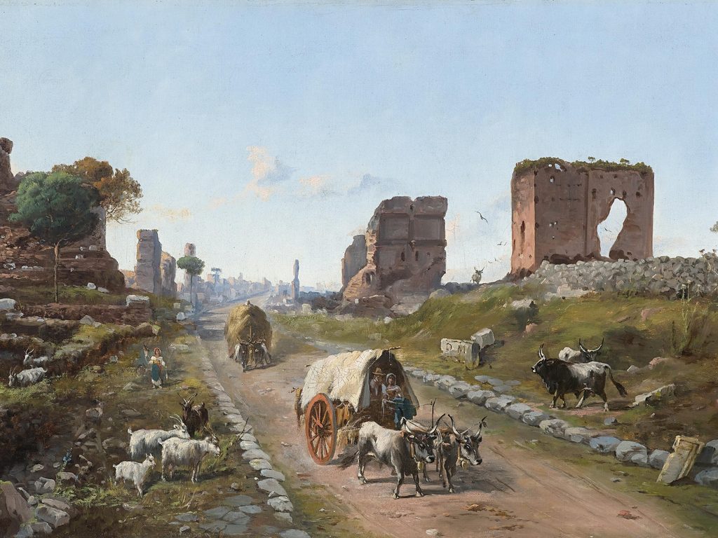
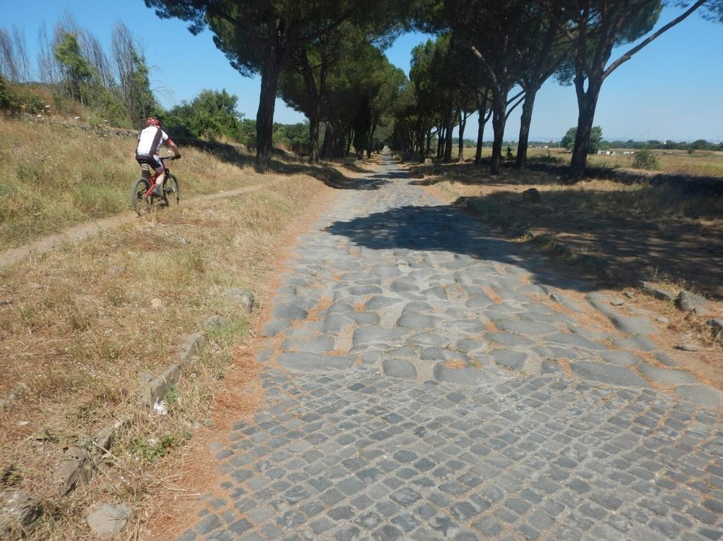
From this point the travelers began walking along another straightaway that stretched across the plain for the next 20 kilometers (almost 14 Roman miles) to within two kilometers of the walls of Rome itself. The modern SS7 follows that route for the first 6 kilometers to the current town of Frattocchie, ancient Bovillae, with an ancient mansio. The SS7 veers slightly northwards at this point, but the ancient VA continued straight, passing milestone 10. From here to Rome the path is visible, and ancient paving becomes more common the closer one gets to Rome. Many tombs and memorials still line the road at intervals as well. He traffic would have also become more intense, slowing the progress of the centurion with his large party of travelers.
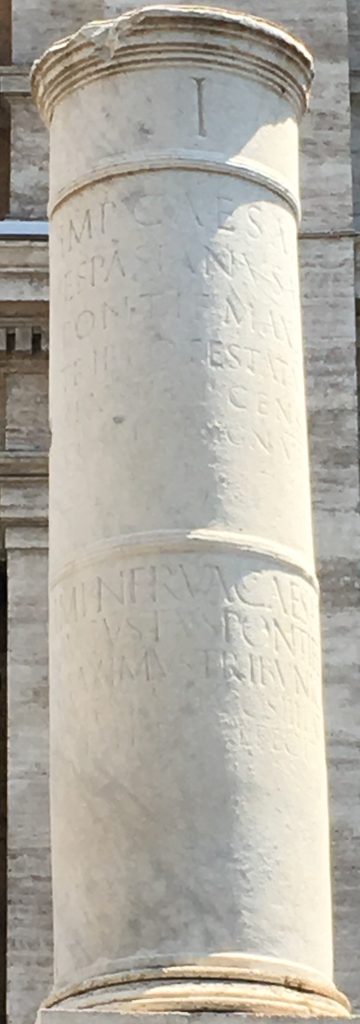
Just at milestone 3 the large mausoleum of Caecilia Metella loomed off the right side of the road. Near milestone 2 another large funerary structure was seen on the right, a columbarium containing hundreds of funerary urns for freedmen and freed women who had served the Julio-Claudian imperial family. 500 m. later the straight stretch ended and the VA made a short turn northwest before heading north and passing milestone 1 where a monumental arch spanned the road (carrying an aqueduct).1 The ancient city wall one passes through just before the milestone was not there in Paul’s day, but was erected in the later third century A.D.
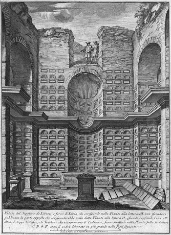
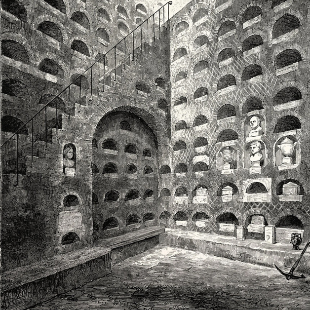
There was probably a real traffic jam for the final mile of Paul’s trip. 250 meters into the last mile, he would have passed the magnificent family tomb of the Scipio family. 500 meters later they came to the intersection with the Via Latina, the road that went inland to Capua (see 4.4). A few meters later, a view of the last 700 meters down to the Porta Capena would have come into view. It is likely, however, that the centurion would have taken a side road (today’s Via Druso) off to the right to head towards the military post where he would turn over his prisoners to the proper authorities.
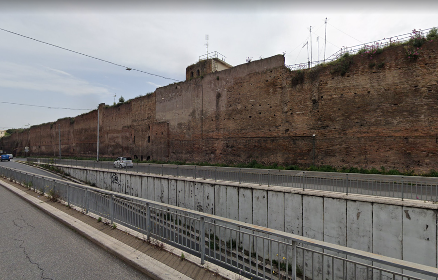
If the centurion belonged to the order of the frumentarii, he may have turned to the left 300 meters up the Via Druso and 250 meters later arrived at the Castra Peregrina to report in. If he was a regular centurion, he would have continued up the Via Druso, across the Esquiline Hill and deposited his prisoners at the Castra Praetoria. Part of the camp’s wall still exists today. This would have brought to an end Paul’s land journey of just over 150 Roman miles (222 kilometers/138 miles).
Created by GLT
Last updated 09/4/2026 by JSW
- The current replica of milestone 1 is misplaced, having been erected about 200 m. too far outside the city. The
original has been moved to the Capitoline hill. ↩︎