[Note: This section has been examined in minute detail in our book: Glen L. Thompson and Mark Wilson, In This Way We Came to Rome: With Paul on the Appian Way (Lexham Press, 2024), pp. 108–128]
After spending the night (in all probability) in Tarracina or its environs, Paul’s party would have continued their journey north, still on the Via Appia. The road left the forum of Tarracina heading northwest beneath the current Corso Anita Garibaldi and 400 m later passed through the Porta Romana and the city wall. It then doglegged northwards another 400 m beneath the current Via Porta Romana until it veered left again to pass in front of the modern train station.
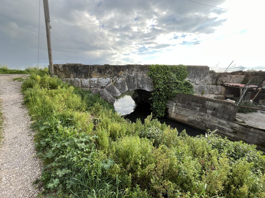
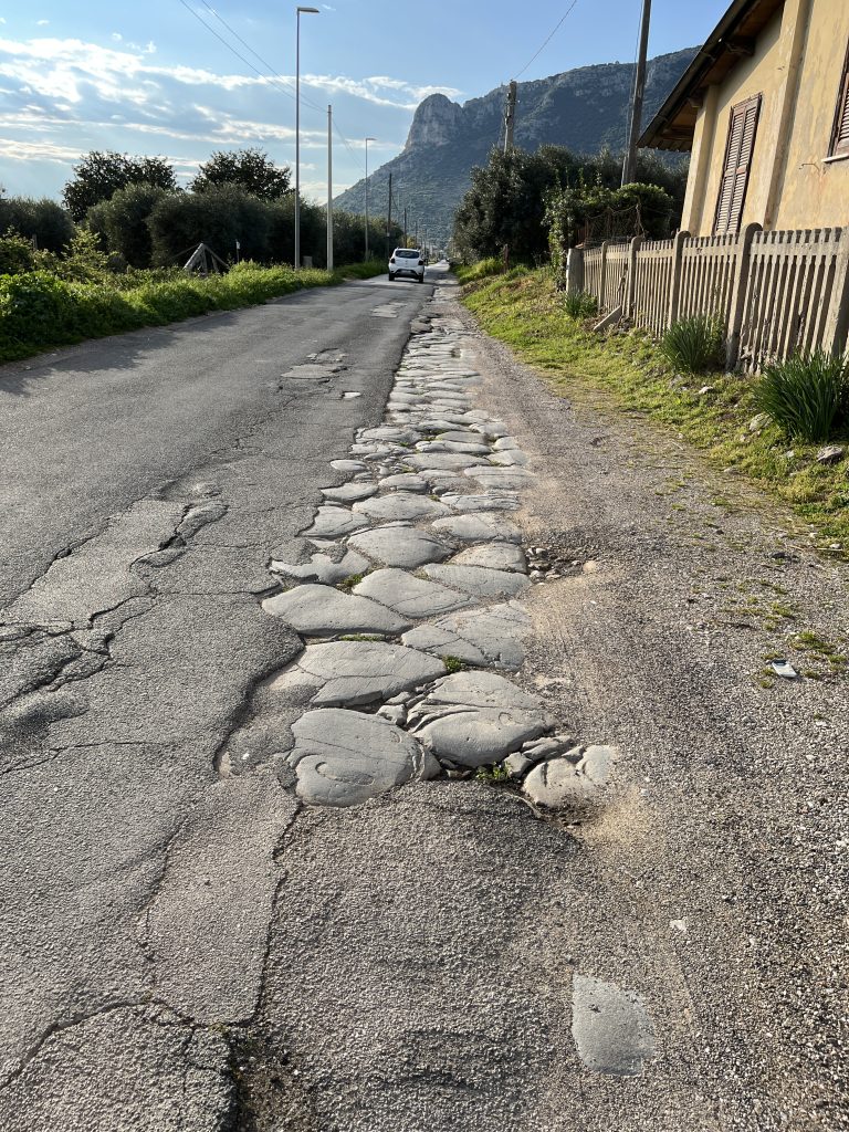
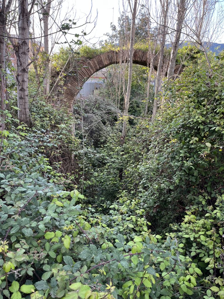
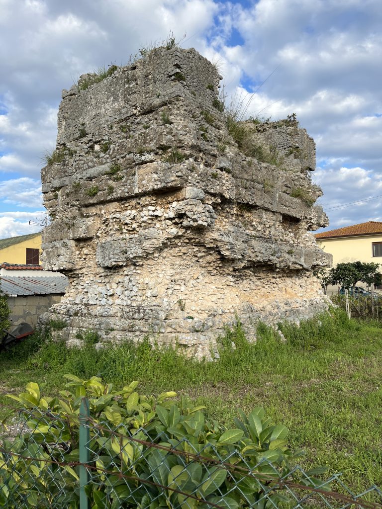
The straight line of today’s Via Appia Antica traces the VA’s path for the next 2.5 km. An ancient arch near the station, almost hidden by the effusive greenery, and several dozen tomb remains over the next several kilometers, confirms this identification. Many of the tomb remains have disappeared in the past half century, but they were carefully documented before they disappeared.1 This straight line was also used as a baseline by the ancient Roman engineers as they surveyed the plain to the north and divided it into agricultural plots (centuriation).
As the travelers approached the imposing Mt. Leano, the road curved west following the base of the mountain and after another 1.5 km reached a spring dedicated to the goddess Feronia. Her temple was in a nearby grove. The road kept to the higher ground over this stretch because the area to the immediate west of Tarracina was a large swamp named “Lucus Feroniae” after the goddess. At this point the VA began slowly separating from the mountain and 300 m later curved further westwards descending over the next half kilometer to the plain. Two Roman bridges can still be seen along this stretch that today bears the appropriate name of Strade Ponte Alto (Old Bridge Rd).
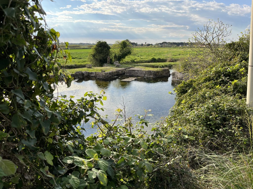
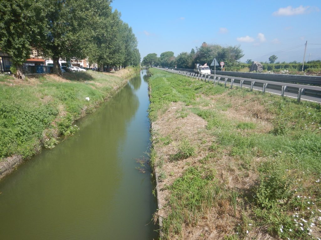
Once on the plain, the VA veered northwest and ran across the plain in a perfectly straight path for the next 41 Roman miles (61 km). Here it was not hilly terrain that posed a problem for the ancient engineers; it was the marshy land that they needed to deal with. The first area to be crossed by Paul and his party was the worst, a 15 km by 25 km area known as the Pontine (or Pomptine) Marshes. The solution they arrived at was to elevate the road on an earthen embankment by taking the soil from the western side of the road, simultaneously creating a canal alongside the road from this point to the Forum of Appius, a distance of more than 15.5 Roman miles (23 km). This gave the travelers the option of crossing the marsh by barge or by foot. The Roman Poet Horace in his Satires (1.5.11-23) gives a humorous account of his ill-fated attempt to save time by crossing the marshes by barge at night (the bargeman fell asleep). Because Acts makes no mention of this unusual opportunity and because of the size of Paul’s party, we surmise that Paul continued north on foot rather than by barge.
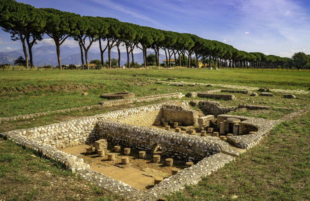
Despite the efforts of engineers, the Pontine Marshes continued to make trouble over the centuries. New efforts were made at various times, including in the late 18th century when the highway was overhauled, the canal re-dredged, and smaller water channels constructed to try to fend off washouts along the road. As a result the modern SS7 still lays atop the ancient VA, with the now unused canal alongside. Halfway (11 km) towards the Forum of Appius, the modern traveler following in Paul’s footsteps can stop at the early modern postal station of Mesa near a Roman way station called ad Medias (at the middle). Two of the VA milestones from this section have been moved here for display. Besides giving the usual mileage from Rome (near the bottom), these have a second number (on top) giving the mileage from the beginning of a nineteen-mile reconstruction project funded by Trajan. Just a few meters north is a large Roman mausoleum, one of the few surviving in the Pontine Marshes.
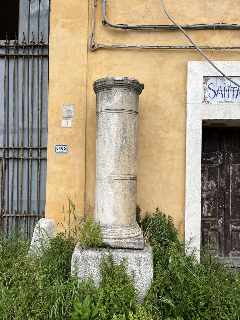
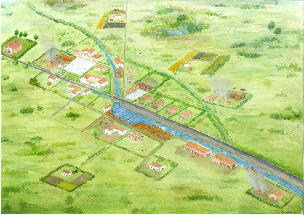
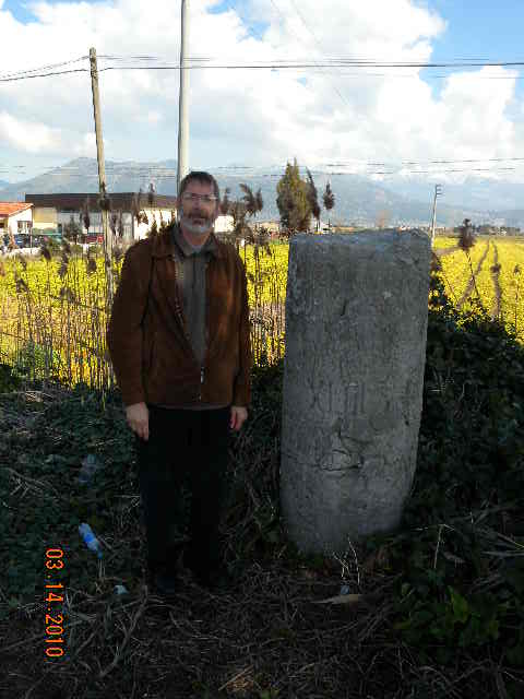
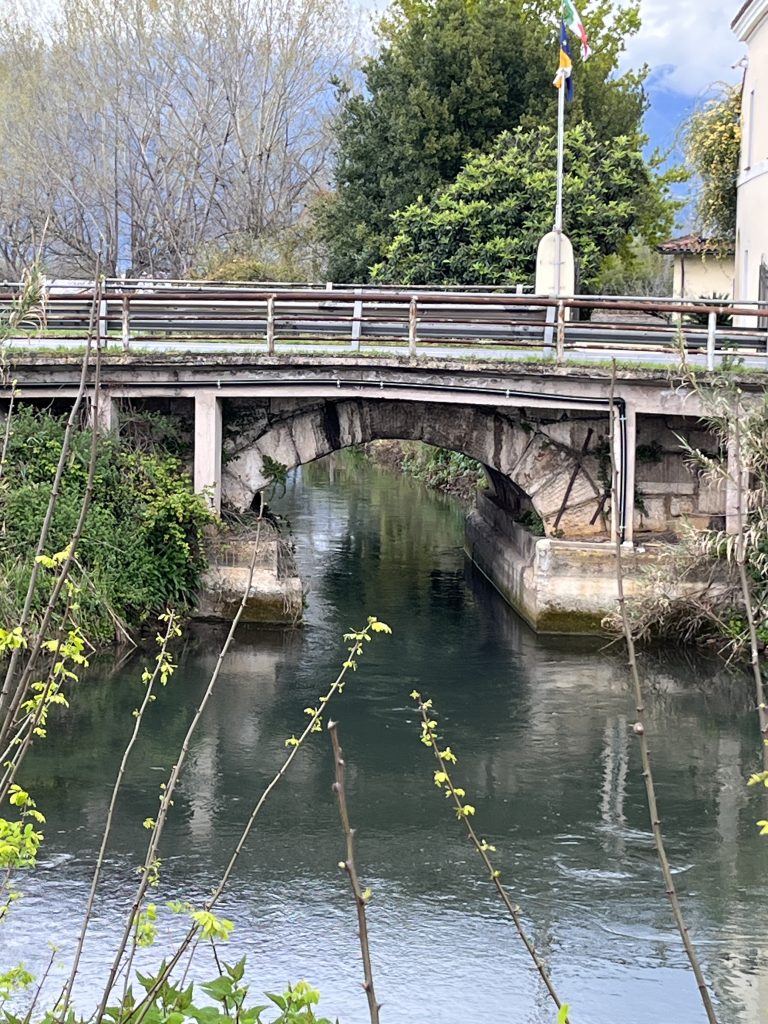
After another 12.5 km (8.5 Roman miles), Paul’s group would have come to milepost 43 as he entered the village called the Forum of Appius. The milestone is still in its original location, and its number was clearly visible before it was vandalized in recent decades. Here the canal began, being fed by another canal that crosses beneath the road. The ancient Roman bridge can still be seen underneath the modern one. Two other Roman inscriptions can be seen a few meters further to the north.
This is one of the stations mentioned in Acts 28:15. Having traveled twenty Roman miles (30 km) from Tarracina, the centurion and his prisoners probably spent the night here. The verse in Acts tells us that Christians from Rome came this far to meet Paul and accompany him on the rest of the journey. This encouraged Paul and caused him to thank God.
The next morning the now larger party headed north another 10 Roman miles to the next way station at Tres Tabernae. The countryside they passed was less marshy, and more farms would have been visible. Tres Tabernae is usually translated in Bibles as “the Three Taverns”, but that is a bit misleading. Taberna was a general word for a shop or commercial establishment. There was also a statio here, and it seems part of the Christian delegation from Rome (perhaps the older people), waited to greet Paul at this location. As the name suggests, it was at the intersection of the VA with a major east-west road connecting the coast with the city of Norba further inland. The exact location of Tres Tabernae was only confirmed by excavations in the last decade or so. The small archaeological site, consisting of a section of paving on a side road and some mosaics belonging to a bath complex, is supposed to be open to the public sometime in 2026.
After some introductions and a brief rest, Paul’s even larger party would have continued north, still on the arrow-straight path of the Via Appia.
Created by GLT
Last updated 08/31/2026 JSW
- See the listing of 72 monuments with map (p. 191) in A. R. Mari, R. Malizia et al., La Via Appia a Terracina: la strada romana ed i suoi monumenti. Studi in occasione del 23 centenario dell’ Appia (Comune ed Archeoclub di Terracina: Tipografia dell’Abbazia di Casamari,1988), p. 191. ↩︎
- Commissioned by Gijs Tol and Tymon De Haas for Tol, De Haas, and Anastasia (2019) ↩︎
- Courtesy of Maria Teresa Natale ↩︎