As with Amphipolis, Luke does not mention any apostolic ministry in Apollonia, and Paul his companions may well have spent the night there. If, as seems likely, there was no Jewish community in Apollonia at the time, he probably continued his journey the next morning.
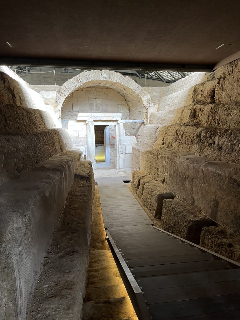
Both the exact location of the city and the route of the VE are uncertain in this area. The so-called Bema of St. Paul is located some 500 m north of Highway 2 in Nea Apollonia, and Greek archaeologists have uncovered some ancient road paving in this area.1 Therefore, it has been regularly assumed that the VE followed the approximate route of Highway 2. Yet, because of the previously mentioned marshes along the lakeshore in antiquity, it is more likely that the early Macedonian-era route after Rentina turned south and followed the edge of the rising ground through the area of modern Kokkalou to the ancient city. The ancient paving and bema would more likely belong to the rerouting along the shoreline done under Trajan in the second century after these marshes were drained. This later path accounts for the location of the medieval hamam and the church along it. This more direct route would also account for the shorter distances (37-38 RM) given in the itineraries for Apollonia to Thessalonica.
The most recent scholarship has suggested that the original route, and the route of the VE in Paul’s day, continued southwest in an arc that crossed hilly terrain and passed through the area around modern Kotinos and Zagliveri.2 It then turned back northward through a pass to the plain at the eastern end of Lake Koronia near Lagkadikia. This path totaled some 27 km from Apollonia, about 6 km longer than the later route along the coast. The Pauline travelers would not have passed the mansio Heracleustibus mentioned in the Jerusalem Itinerary as 11 RM from Apollonia (near modern Stivos). Instead they would have halted at Mellissurgin, if it were a functioning mansio in the first century. Mentioned in both the Antonine Itinerary (17 RM) and the Peutinger Table (18 RM), Mellissurgin may have been near modern Vasiloudi (17.5 RM from Apollonia), although the Tabula Imperii Byzantini places it a mile further east near Gerakarou.3
The last 20 RM from Mellissurgin to Thessalonica follows the southern coast of Lake Koronia (Agios Vasileios; now almost dry) past its western end and then an additional 8 RM to the north end of Mount Kissos (modern Mt. Chortiatis). The mountain, rising 1200 meters above sea level, blocked a more direct route westwards to Thessalonica. After rounding the northern end, the VE heads through a pass and south down the western side of the escarpment.
When the modern Via Egnatia motorway was being built, a necropolis was uncovered, probably associated with the ancient Mygdonian city of Lete. Two elaborate Macedonian tombs, referred to now as the Derveni tomb and the tomb of Makridy Bey, further confirm that this was the route of the ancient road. The modern expressway and the older main road run almost parallel and about 100 m apart in this area, and both tombs are between these roads. One or the other of the modern roads must be virtually on top of the VE.
Milestone 5 was found about 3 km further south in Efkarpia. If in situ, it was about halfway between the tomb of Makridy Bey and Efkarpia proper.4 The find again confirms the route in this area, which is 3 km more than what would be expected.
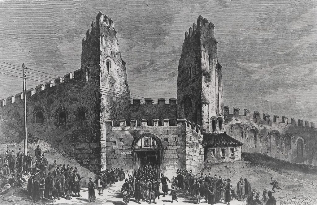
The VE continued the descent from Lete to Thessalonica where it ran along the outside of the city wall. Travelers such as Paul arriving from the north could have entered the city via the northwestern Lete gate which opened onto a secondary decumanus that ran across the city from west to east (modern Agiou Dimitriou) and passed to the north of the Roman Forum.5 The local tradition that the apostle arrived through a northeastern gate and preached where the Monastery of the Vlatades, or Moni Vlatadon, stands today does not make sense geographically.
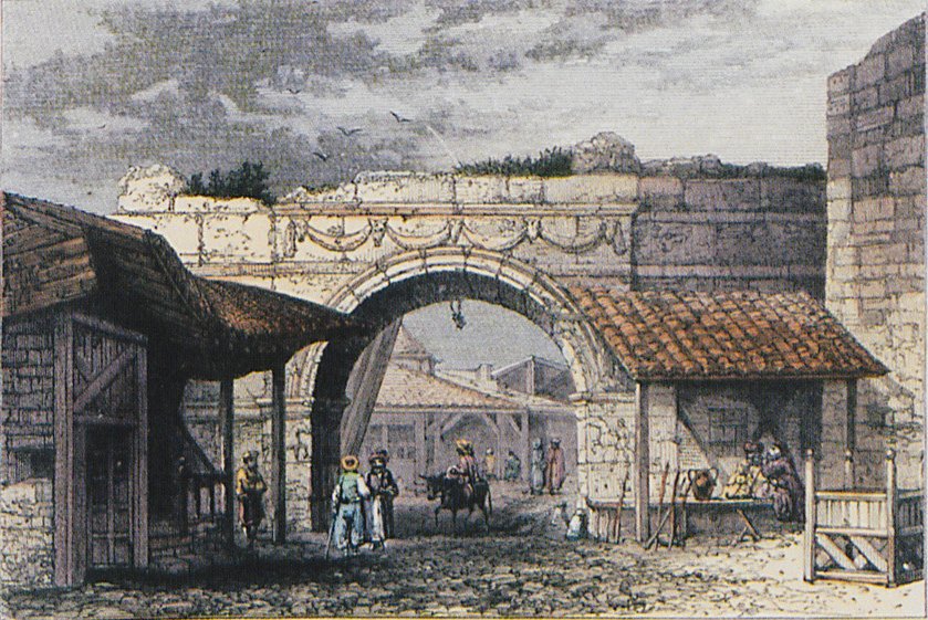
Meanwhile, the VE continued south outside the walls for another 400 m to the Western Gate (later known as the Golden or Vardar Gate) near the modern Plaka Demokratias. Here it turned westwards toward Pella. Thus the “through route” of the VE did not enter Thessalonica proper. When it was first constructed, however, Thessalonica was its eastern terminus (Strabo, Geogr. 7.7.4). Since the Western Gate opened onto the main east-west street, later the decumanus of the Roman city, that street served as a sour of the VE into and across the city, and it is still called the Egnatia Odos yet today.
Created by GMT & JTS
Last updated 10-23-2025 JTS
- The paving was at 40.64235° N, 23.48661° W. ↩︎
- Chatzopoulos, Miltiadēs V. “The Via Egnatia between Thessalonike and Apollonia.” Society for Macedonian Studies 7 (1997): 199–213, p. 211. ↩︎
- TIB 11.2:729–30, citing Papazoglou, Fanoula. Les villes de macédoine a l’époque romaine. Athènes, Paris: Ecole française d’Athènes, dépositaire: Diffusion de Boccard, 1988. ↩︎
- Chatzopoulos, “The Via Egnatia,” 208. ↩︎
- On the Lete (Letaia) Gate see https://www.info-neapolis-sykeon.gr/project/litaia-pyli-yeni-kapou/. The local tradition that the apostle arrived through a northeastern gate and preached where the Monastery of the Vlatades, or Moni Vlatadon, stands today does not make sense geographically. ↩︎