Acts 17:1 states that, after leaving Philippi, Paul’s party merely “passed through” (διοδεύσαντες) the cities of Amphipolis and Apollonia on their way to Thessalonica. (See further the Amphipolis page.)
If Paul spent the night in Philippi, he would have left the next day via the southern gate of the city (known today as Gate Δ΄) which connected after about 150 m with the VE that ran south and east of the city and its walls. This leg of the journey, from Amphipolis to Apollonia, was another comfortable two-day journey with a distance of 33 RM. After leaving Amphipolis, Paul’s party soon crossed the Strymon River. A bridge probably stood somewhere near the modern bridge where the Lion Monument, originally gracing the top of a Macedonian tomb, was re-erected in the twentieth century. However, no remains of the bridge have been found.1 An inscription from 17 BC, however, confirms that the Legio X Fretensis constructed a bridge (pontem fecit) here.2
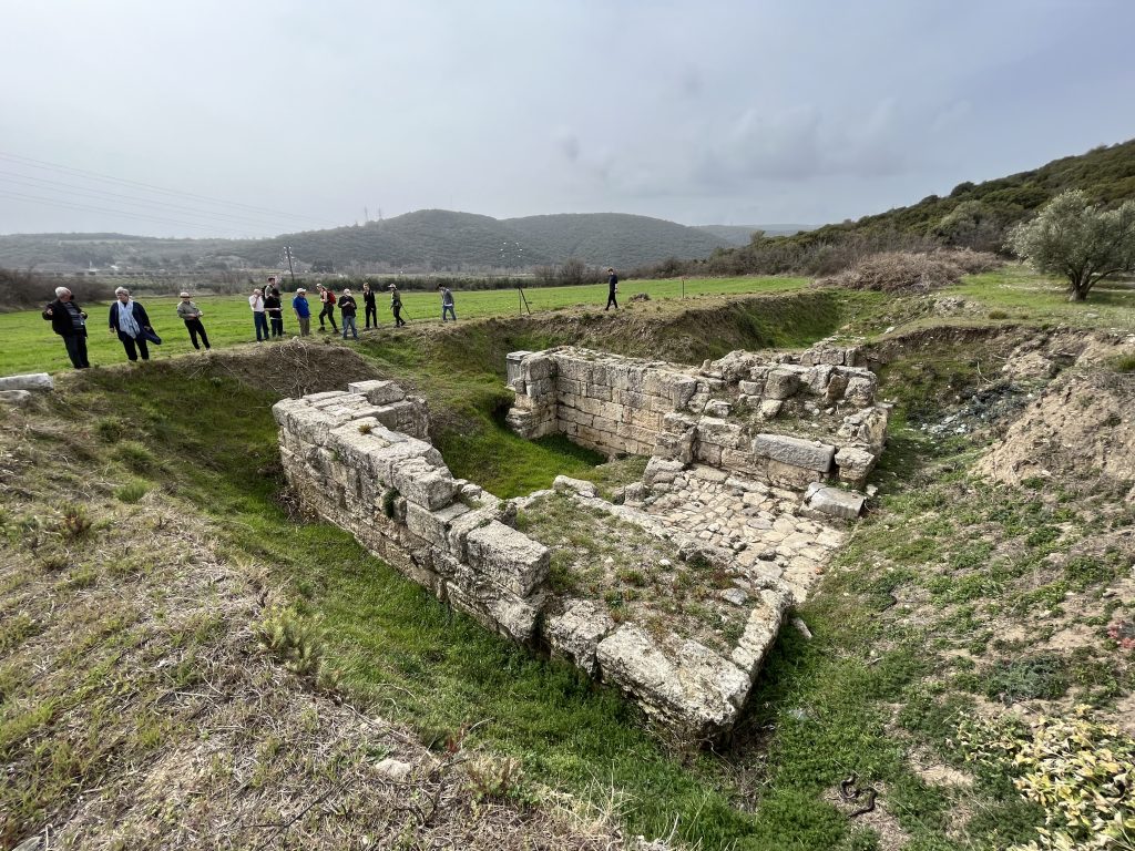
The VE’s path is uncertain for the next few kilometers. It may well have run for 1 km beneath the old road into the current village of Nea Kardylia and then headed southwest along the coast following approximately the same path as the current Highway 2. After another 3 km (about 3 RM from Amphipolis), Paul’s party would have passed through Argilos. This early Greek colony thrived until the founding of Amphipolis in the middle of the fifth century BC, but by Paul’s day it was merely a large village (kome) within the territory of Amphipolis.3 Excavatians have uncovered sections of the city on both sides of the road and extending up the hillside to the city’s ancient acropolis.
The Jerusalem Itinerary mentions a mutatio named Pennana 10 RM from Amphipolis, which would place it about 5.5 RM past Argilos. The ancient route must have continued down the coast near the path of the current coastal highway to the village of Asprobalta. Fourth-century ruins on the hill above the village have been identified as the mutatio. Although this is almost 1 km from the coastal road, the ground rises very gently in this area, so it is possible that the VE ran further inland at this point to pass by the mutatio. Whether the station existed in Paul’s day or not is unknown.
Assuming a path that passes just below the Pennana ruins, the VE would have continued south-southeast for about another 6.5 km, staying a couple hundred meters from the water until it rejoined the current Highway 2 in modern Nea Vrasna. It then headed inland to cross the narrow isthmus between Lake Volvi/Bolbe following the Rechios River, which is the outlet from the lake to the sea. The current Highway 2 again tracks north of the river, but VE may have run on either side. At the western end of the valley, about 1 RM from the lake near modern Rentina, the road passes a hilltop Byzantine fortress built on an earlier Hellenistic site. As this is 10 RM from Pennana, the mutatio of Peripidis mentioned by the Jerusalem Itinerary must have been in this vicinity.4
The Jerusalem Itinerary gives a figure of 11 RM from the Peripidis mutatio to Apollonia, a total of 31 RM from Amphipolis, while the Antonine and the Peutinger Itineraries both give 30 RM between the two cities.5 The site of ancient Apollonia is still a matter of debate, but it and the VE are usually shown as passing along the southern shore of Lake Volvi. Since we know that the lakeshore was very marshy in antiquity, the VE more probably ran along the higher ground further to the south than Highway 2 does today. It more likely passed closer to the modern village of Modi and through Nea Madytos and Kokkalou. If the ancient city was situated somewhere between the modern towns of Apollonia and Nea Apollonia, the route described would be about 10 RM from the previous mansio.
Created by GMT & JTS
Last updated 10-23-2025
- See Maniatis, Y, D Malamidou, H Koukouli-Chryssanthaki, and Y Facorellis. “Radiocarbon Dating of the Amphipolis Bridge in Northern Greece, Maintained and Functioned for 2500 Years.” Radiocarbon 52, no. 1 (2010): 41–63, p. 58, for further discussion. ↩︎
- TIB 11.1: 206, citing Samsarēs, Dēmētrēs K. “La vallée du Bas-Strymon à l’époque impériale : contribution épigraphique à la topographie, l’onomastique, l’histoire et aux cultes de la province romaine de Macédoine.” Dōdōne 18.1 (1989): 284–285. ↩︎
- TIB 11.1: 232-233. ↩︎
- The Byzantine fortress is at 40.65645° N, 23.623203° E, but the mutatio on the VE would have been in the valley, perhaps somewhere near 40.65658° N, 23.62018° E. ↩︎
- Livy, Ab Urbe Condita, 45.28.8–9 mentions this route and states that Apollonia was a day’s journey from Amphipolis. ↩︎