[Note: This section has been examined in minute detail in our book: Glen L. Thompson and Mark Wilson, In This Way We Came to Rome: With Paul on the Appian Way (Lexham Press, 2024), pp. 54–89.]
Paul’s party most likely spent a night at an inn in Capua. Acts (and early church history in general) does not give an indication of the existence of a Christian community here at the time. Capua was the major city of ancient Campania and early on became a breadbasket for the expanding city of Rome. By the fourth century BC grain was imported along the Via Latina, a road that ran from Rome down through several prominent Latin hill towns southeast of Rome, ending in Capua. Rome came to fight these cities in the so-called Samnite Wars (343–341) and the Second Latin War (340–338). At that time they needed a safer route for their grain supply from Campania, and so a more coastal route was developed between Rome and Capua by the censor Appius Claudius Caecus, the now famous Appian Way. By Paul’s day it had become the fastest route between the two cities and an easy choice for the final walk to Rome.
At some point in the past two millennia ancient Capua came to be called Santa Maria Capua Vetere, and the nearby ancient city of Casilinum came to be called Capua. If Paul’s party left early in the morning, their first break may well have been taken at Casilinum, just 4 RM away. Leaving through Capua’s western gate or Porta Romana, they would have immediately passed the impressive amphitheater on their right. Ruins of the Republican Era amphitheater from Paul’s day can still be seen in the area south of the more impressive Flavian amphitheater, the second largest in the Roman world!
Capua and its Republican era amphitheater would have been known to Paul as ground zero for the great slave revolt led by the gladiator Spartacus just over a century earlier (73–71 BC). Of the estimated 70,000 rebels, 6,000 were captured. They were executed by crucifixion along the Appian Way between Capua and Rome—one about every 35 meters! The remains were probably still there when Paul passed, a reminder to what happened to rebels.
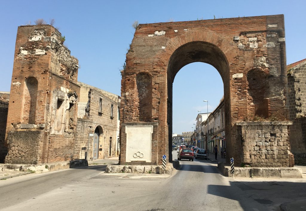
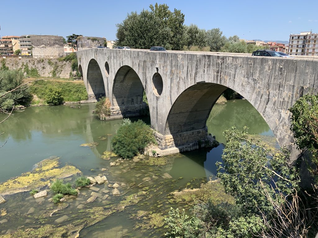
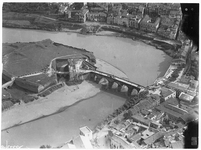
Shortly after leaving the gate, the Via Appia (hereafter VA) would have passed milestone 132, giving the distance (195 km) to Rome. It soon doglegged to the northwest and remained on a straight line all the way to Casilinum. For the first two kilometers it lies beneath the modern road, which still passes through part of a monumental arch erected in honor of Emperor Hadrian several generations after Paul passed this way. Arriving at modern Capua/ancient Casilinum, the VA’s path led down the length of modern Corso Appia to the Volturnus River. The river surrounded ancient Casilinum on three sides, and a substantial Roman bridge carried the Via Appia across it. The bridge remained in use until destroyed during the Second World War! The successor bridge used today is in the same location.
Shortly after crossing the river, the VA swung to the west, and about a half kilometer from the river it intersected with the Via Latina coming from the north through the mountains from Rome. At this point the Via Appia veered almost due west and began to cross the Campanian plain towards the coast. This vast area was the heart of the agricultural plain and was called the Campus Stellas in ancient times. Today it is still dotted with prosperous farms, and they have erased all evidence of the ancient road. A few traces from aerial photography and the names and distances provided by the ancient itineraries and Peutinger map allow us to reconstruct its probable path.
At various times there was a statio ad Octavum (i.e., eight miles from Capua) and another ad Nonum (nine miles from Capua), probably not active at the same time. Further on was the statio Urbana and then one at Pons Campanus. The latter was still only 17 RM (25 km) from Capua. At that point the road swung southwest to follow the southern edge of Mount Massicus down to the coast. Along this stretch it passed a Roman funerary monument today referred to as the Torre Ballerino, at which point it continued under a narrow secondary road to pass the current cemetery of Mondragone.
Just across from the cemetery a Roman structure has been excavated on the north side of a section of paving from the ancient VA. The structure has been identified by some as a statio called the Pagus Sarclanus in an inscription found nearby. One kilometer west of the cemetery the path is again found under the modern road identified as the Via Appia Antica, and 3 RM (4.3 km) later, it arrives at the coast and the thermal springs of Sinuessa (just north of modern Mondragone). There may well have been a statio or inn here at Aquae Sinuessae, and milepost 108 was found here. Perhaps the apostle’s party stopped to soak their weary feet here.
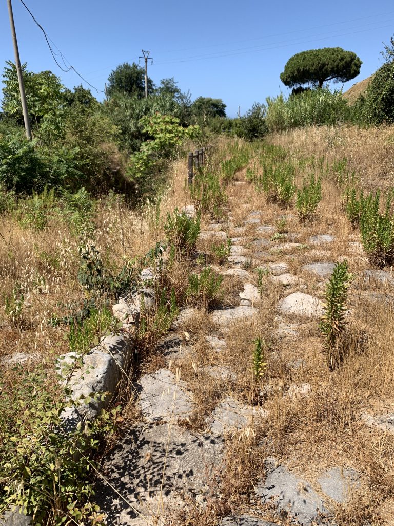
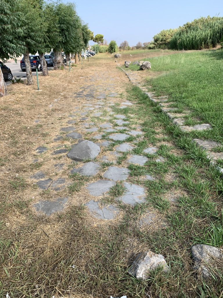
The road then turned north, paralleling the coast about 200 m inland from the current shore. This is confirmed by another stretch of ancient paving found in the modern seaside development called Baia Azzurra. 1 RM from the thermal springs the VA came to the colony of Sinuessa, created to protect the VA in the 300-meter wide gap between the Mediterranean Sea and the slopes of Mount Massicus. Much of the ancient city is now underwater, and most of the rest is buried beneath the modern vacation and retirement community.
After passing through the center of the city, the VA emerged through the northern gate. Because the ancient coast here was also marshy, the road curved inland before heading northwest parallel to and about 2 km from the present coast. After about 10 km it again curved westward and crossed the Garigliano River to pass through the Roman colony of Minturnae, again established to protect the VA. The forum, theater, and other ruins of Minturnae are still worth visiting today, and through the middle of the city, a stretch of 150 m of the ancient VA is well preserved.
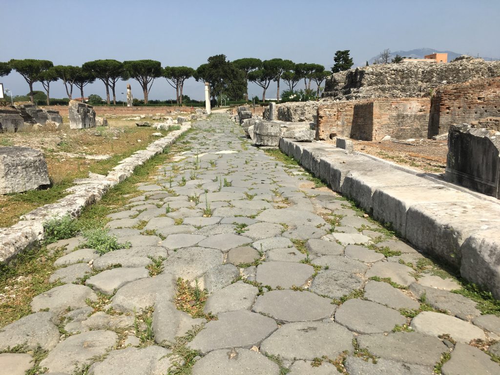
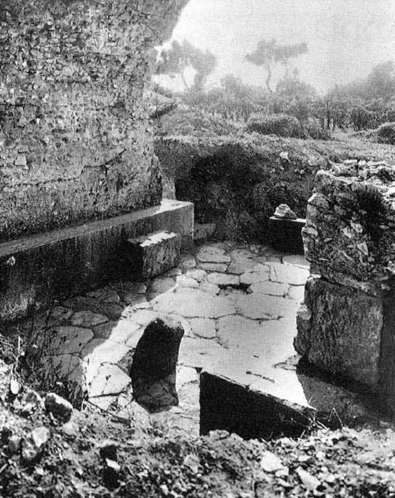
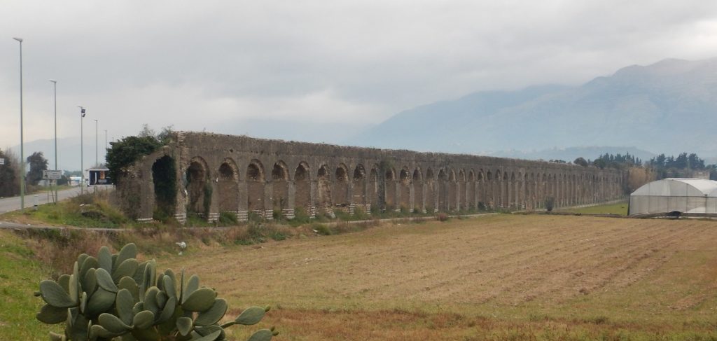
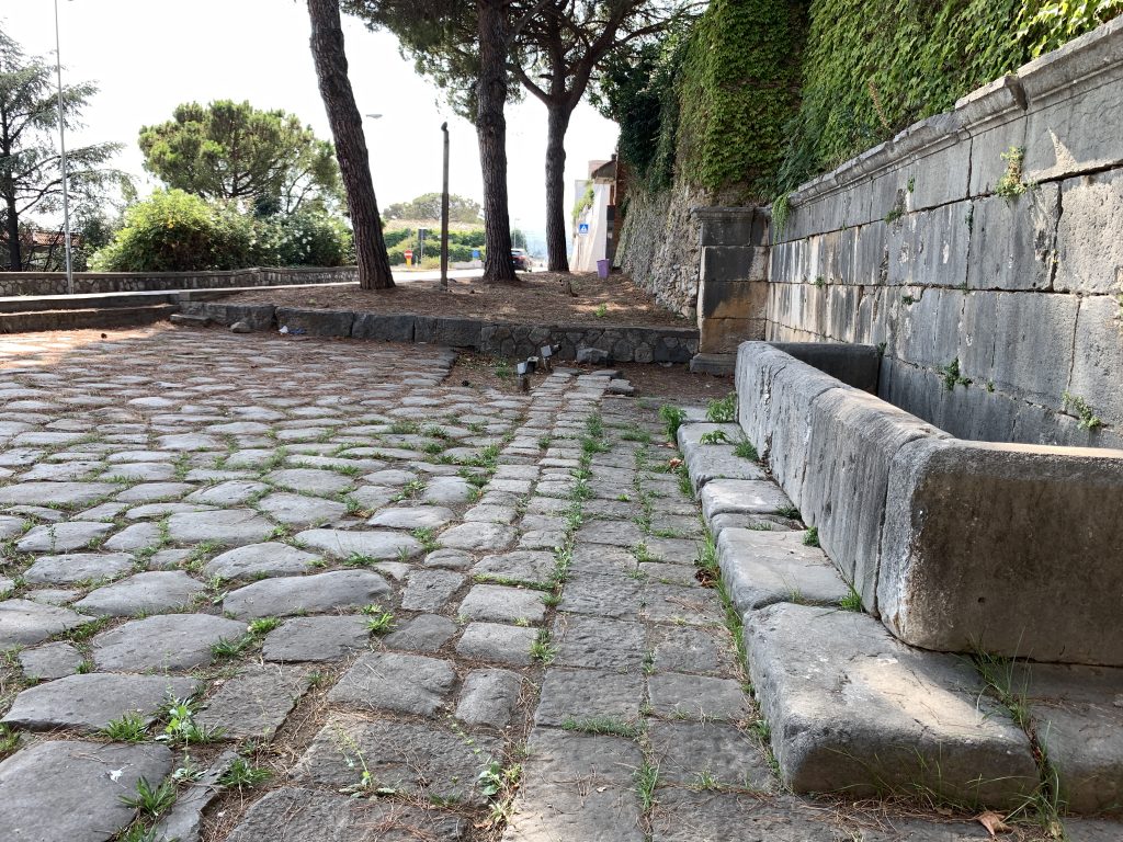
The road continued on a straight line from the forum out the western or Gemini gate of the city. This is also where the well-preserved aqueduct entered the city. The party would have continued northwest on a perfectly straight road (beneath the modern SS7 highway) for another 5 Roman miles (7.25 km) before it made a small jog to the right around a prominent hill. It then headed west along the northern coast of the Gulf of Formia. After another 4 RM (6 km) it entered Formiae through its eastern gate. The VA’s exact route on the eastern side of the city is debated, but it seems to have coincided with the modern Via Angelo Rubino. Just past where that street merges back onto the SS7 the party would have passed out of the western gate and 400 m later passed a roadside spring and fountain that still is in use, today called the Fontane di San Remigio.
The modern SS7 continues to mark the ancient path of the VA for most of the next 4.3 RM (6.4 km). 1.2 km past the fountain, it passed a monumental tomb, said to be that of the great Roman statesman and orator, Cicero. 3 km further, just before the modern highway goes under a railway bridge, an ancient milestone can be seen on the east side of the road. It is MP 85, but it has been moved some distance from its original position. About 1 m further, a second milestone, MP 84, has been set up on the west side of the road (just above the Itri rail station). Again, it was moved from its original location.
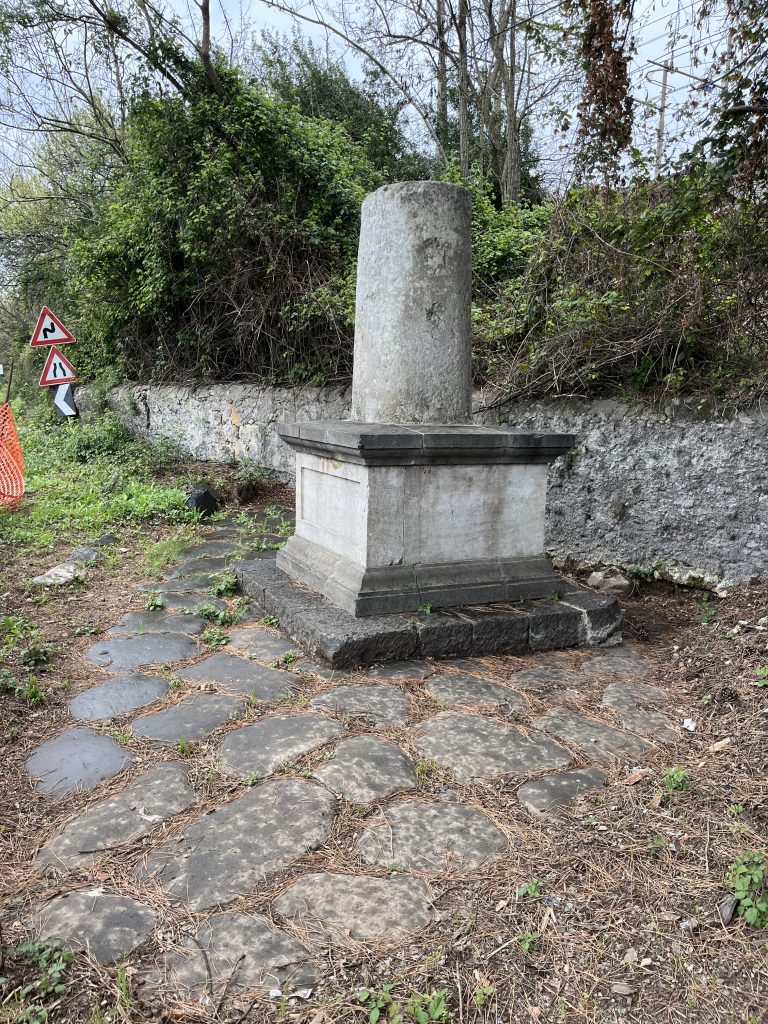
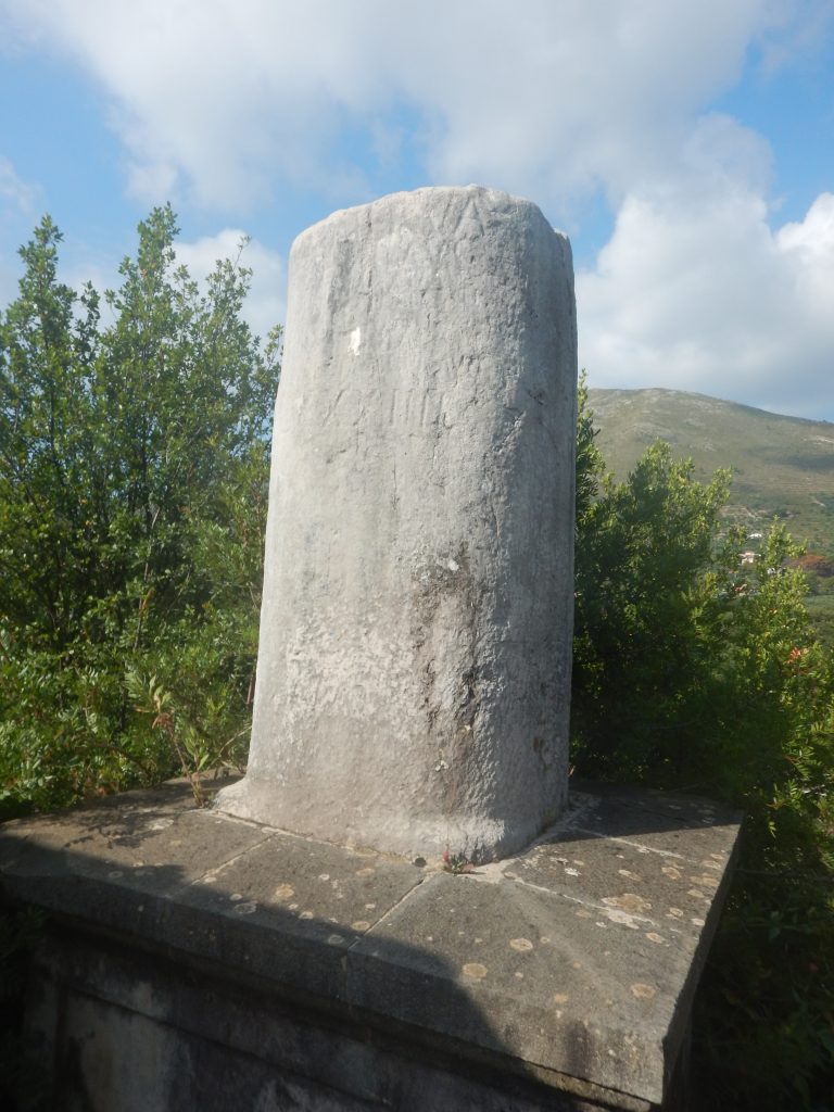
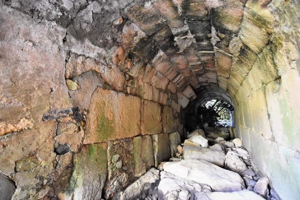
About 1.3 km further to the north, where the modern SS7 veers to the left, the VA continued straight onto the modern Corso San Gennaro. A km later it curves westward and becomes Corso Appio Claudio as it passes through the modern town of Itri. This settlement first became a city in the Middle Ages, and its name, from the Latin iter meaning “journey,” probably arose from the fact that there was a statio or mansio at this location. Being halfway between the prominent cities of Formiae and Fundi, it also was a good place for Paul and his party to spend the night.
Last update 04/27/2026 JTS
Created by GLT