[Note: This section has been examined in minute detail in our book, In This Way We Came to Rome: With Paul on the Appian Way (Lexham Press, 2024), pp. 28–53.]
In Puteoli, Paul and Luke found a group of local Christians (Acts 28:14) and spent a week with them before the centurion led his prisoners the final 154 Roman miles (228 km) overland to Rome. From Luke’s mention in v. 15 of two way stations we can be certain that they entered Rome on the famous Appian Way. However, that road passed some 20 Roman miles north of Puteoli, bypassing the Naples region on its way to Brundisi. So how did the party get to the Appian Way?
While it is possible that the company sailed further up the coast before joining the Via Appia, Luke usually mentions sea voyages, and here he does not. There was a route from Puteoli west to Cumae following the coast up to Sinuessa where it joined the Via Appia. However, this route crossed malaria-filled marshes and was in bad condition until it was upgraded and paved at the end of the first century by Emperor Domitian (becoming the Via Domitiana, as it is still called today). Instead, the centurion must have led his prisoners north on a paved road that connected the seaport with the most important city of Campania, Capua. Although the road is not named in any surviving documents, it has come to be referred to as the Via Campana Consularis (hereafter VCC). As we shall see, because of the volcanic nature of the entire landscape, the ancient road had to be cut into the volcanic rock and so, unlike the normally straight Roman roads, this one had to zig-zag around and through craters and other obstacles.
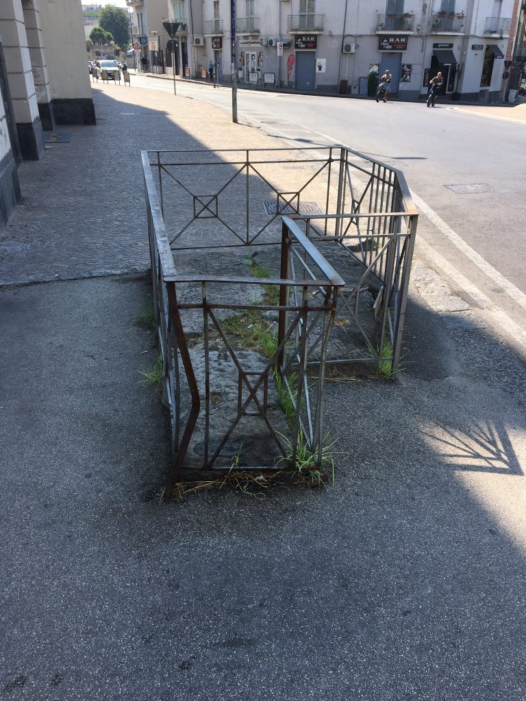
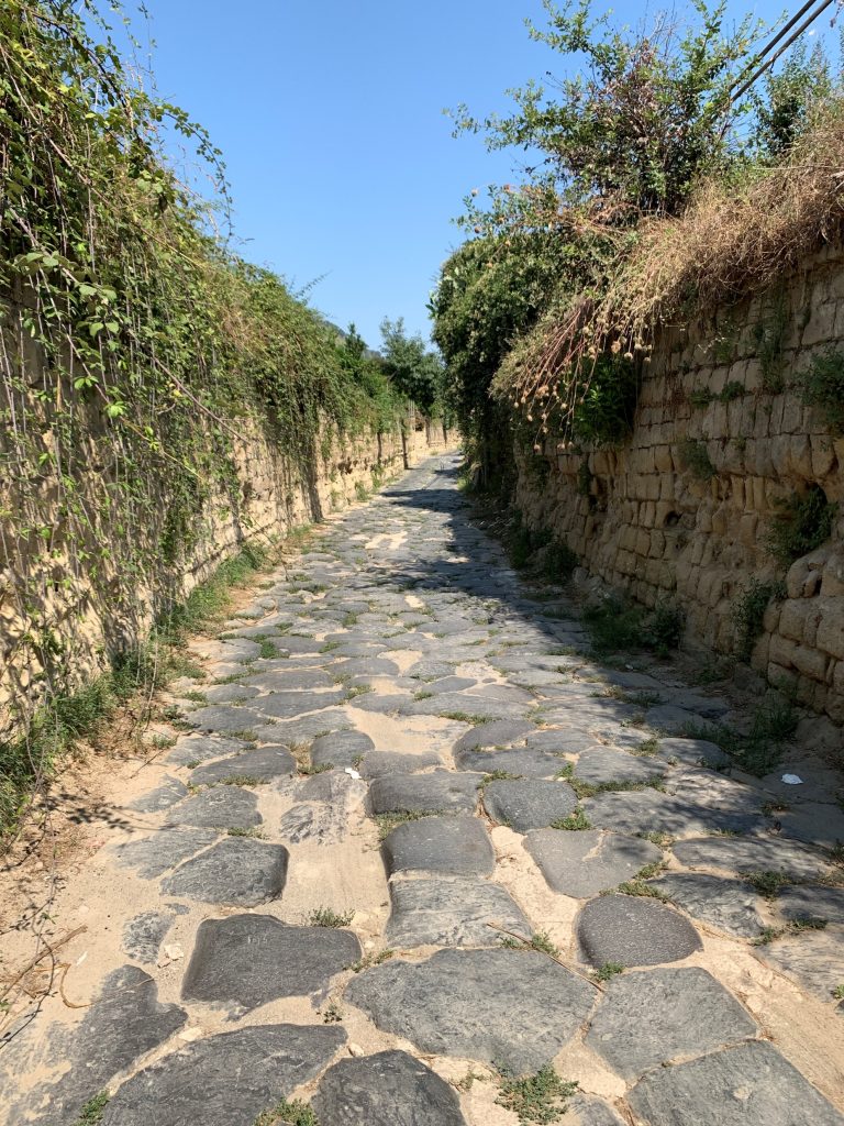
This road left Puteoli through the northwestern gate know as the Porta Campana gate. Only a few stones remain embedded in the modern sidewalk to mark where the ancient gate was. Once outside heading northwest, the road almost immediately dog-legged to the north, following the route of today’s Via Celle. The path can clearly be identified after 200 m by the 150 meter-long row of more than a dozen interconnected tomb remains that lines the east side of the road, today known as the Via Celle Necropolis. The tombs are dated to the first and second century AD, and if there were any further doubt, at the north end of the tombs, the road made a sharp left onto the Via Vecchia Campana. One still bumps over the ancient paving for the first 400 meters, traveling the narrow road with volcanic rock rising several meters on both sides.
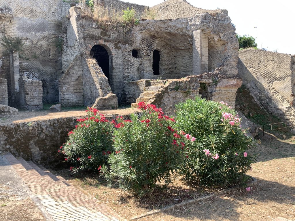
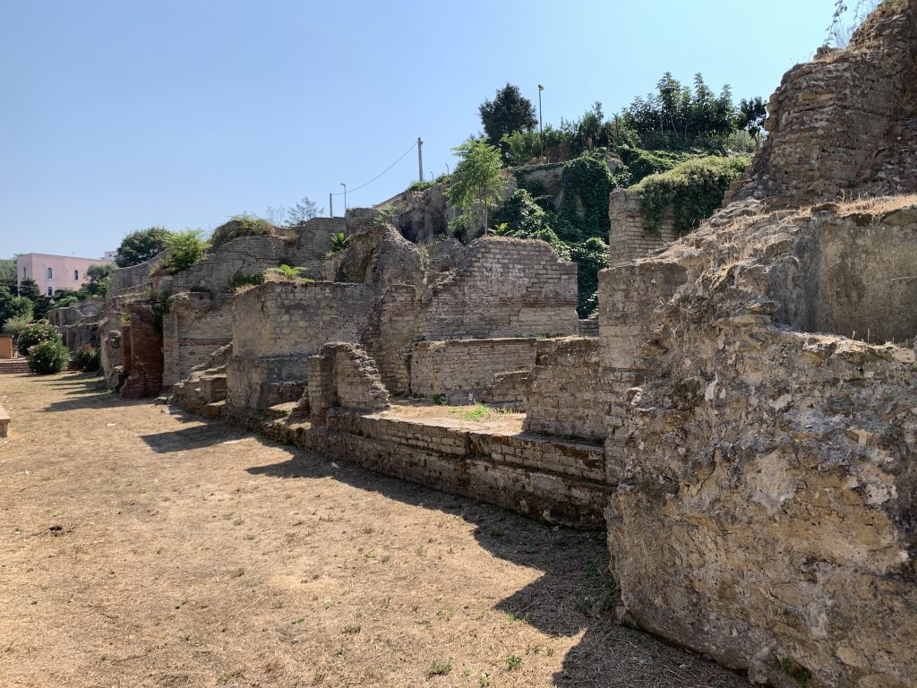
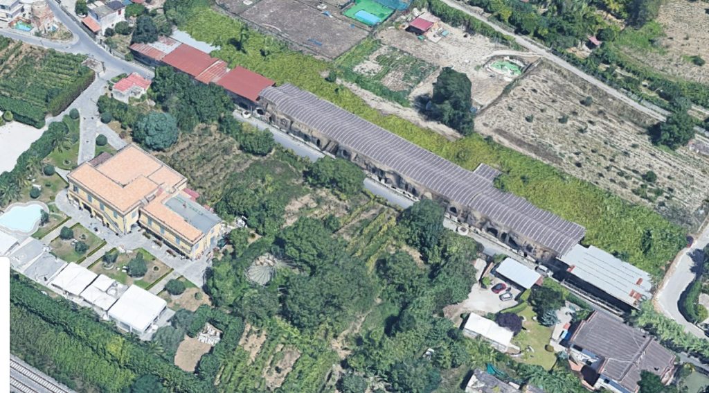
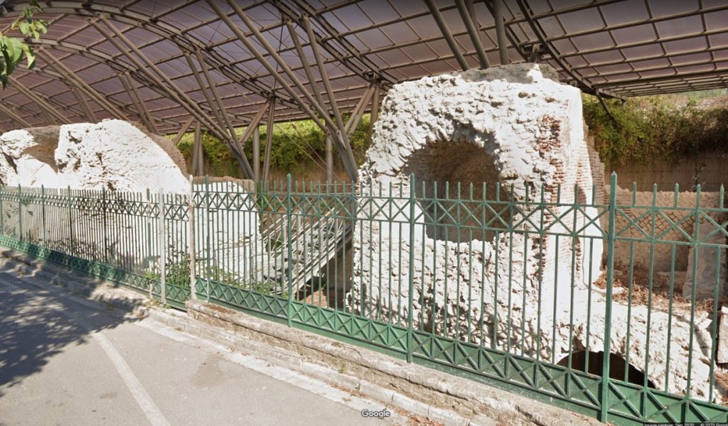
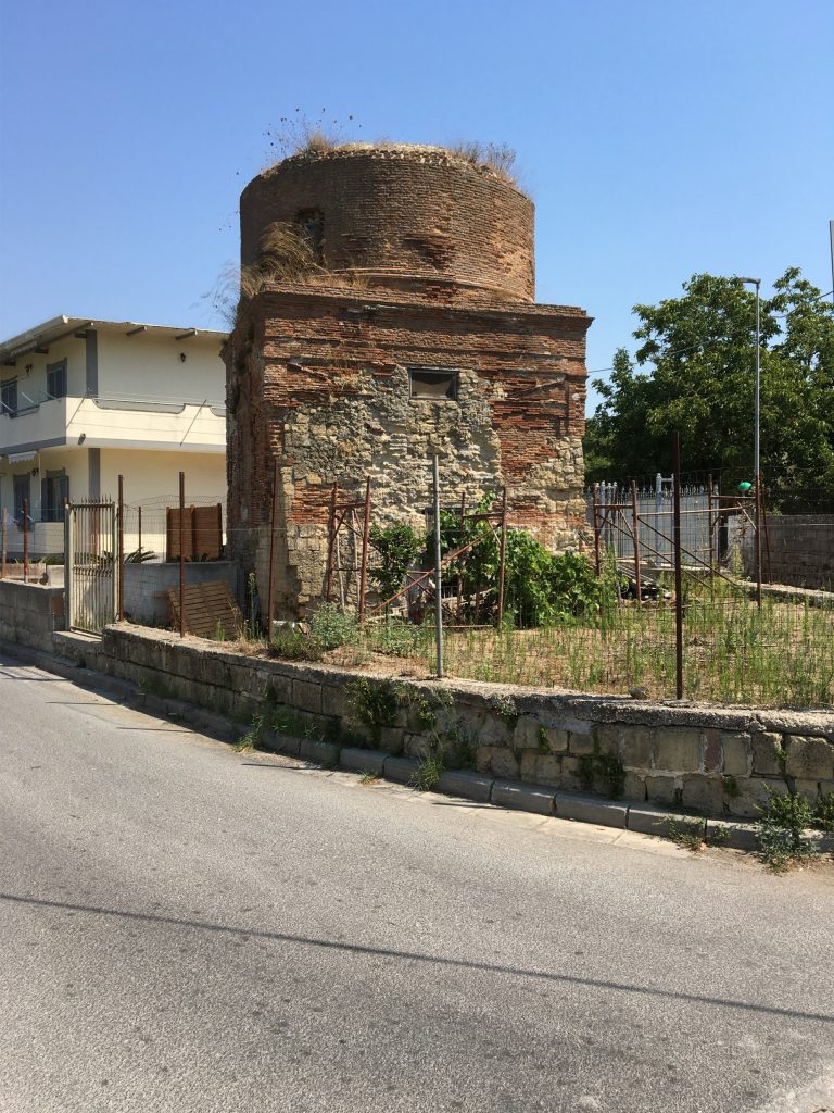
For 750 m after the ancient paving ends, the ancient road continued under the modern one and becomes Via S. Vito. 300 m later the road passes just west of a second row of ancient tombs, again stretching for over 100 m. This Necropolis of S. Vito is today sheltered by a modern roof. Across the street a tomb with Christian art can be viewed inside the basement of the Villa Elvira restaurant. 75 m past the row of tombs, a large circular tomb can still be seen at the point where the ancient road veered left and continued straight for another 450 m. At the point where it meets with the modern Via Campana, it veered north. In numerous places ancient ruins can be seen on both sides of the modern road over the next kilometer. It then bends slightly more north-northeast. Aerial views show that it has entered a volcanic crater at that point, crossing its floor for some 800 m. At that point the Roman engineers cut through the norther crater wall to allow the road to pass through on level ground. This cut is today called Montagna Spaccata, and the Roman containing walls, including early imperial opus reticulatum, can still be seen as one travels the busy road.
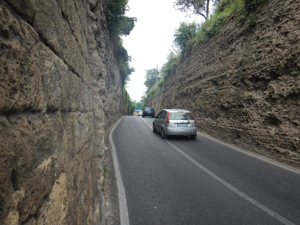
When the road emerges 150 m later, it is finally able to run more directly north across the plain of ancient Campania. After a short distance further along the modern Via Campana, the road veered to the right, almost due north, following the track of the modern Via Consolare Campana. Just over 1 km from the pass and before it crosses the modern Corso Italia a bit of an ancient sideroad can be seen to the left along with a two story building with ancient opus reticulatum still in evidence. This may well have been part of the ancient waystation of Ad Quartum (at the 4th mile[stone]), since at this point Paul and his party would have traveled almost exactly 4 Roman miles from the Puteoli gate. The town here today is still called Quarto!
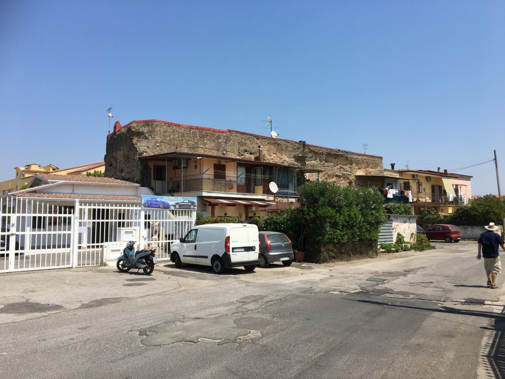
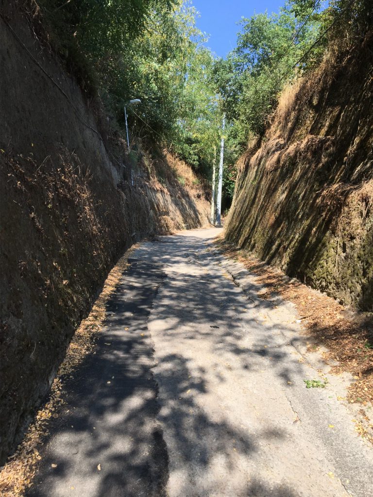
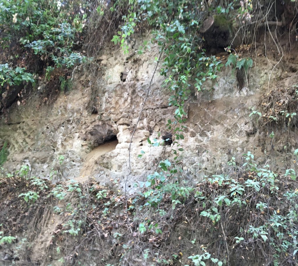
Having walked but four miles, it was still early in the day when the travelers struck out across the plain. Just as in Paul’s day, Campania is still one of the breadbaskets of Italy, and is still heavily farmed. Over the centuries this has erased almost every trace of the ancient road. For the two kilometers north of Ad Quartum, the road may have followed the path of today’s Via Antonio Scarlatti and then Via Casalanno until arriving at a road named the Cupa Orlando. Like the Via Vecchia Campana just outside Puteoli, the road here is cut into the rock for about 1 km, with sides rising steeply for some meters on each side, in places showing the remains of ancient Roman reinforcement and confirming that the ancient road passed this way.
The road continued almost due north for another 1.5 km towards the modern city of Qualiano where it seems to have followed the path delineated by today’s Corso Campano. It then veered northwest beneath the street that is still called the Via Antica Consolare Campana. Although this modern road ends after 1 km, the ancient road would have continued straight across the current farm fields. 4 km later its track is again indicated by modern roads bearing the names of Via Campana and then Via Guglielmo Marconi, Via Fiume, Via della Resistenza, Via Cottolengo, and finally, after some 7 km, Via Enrico Altavilla.
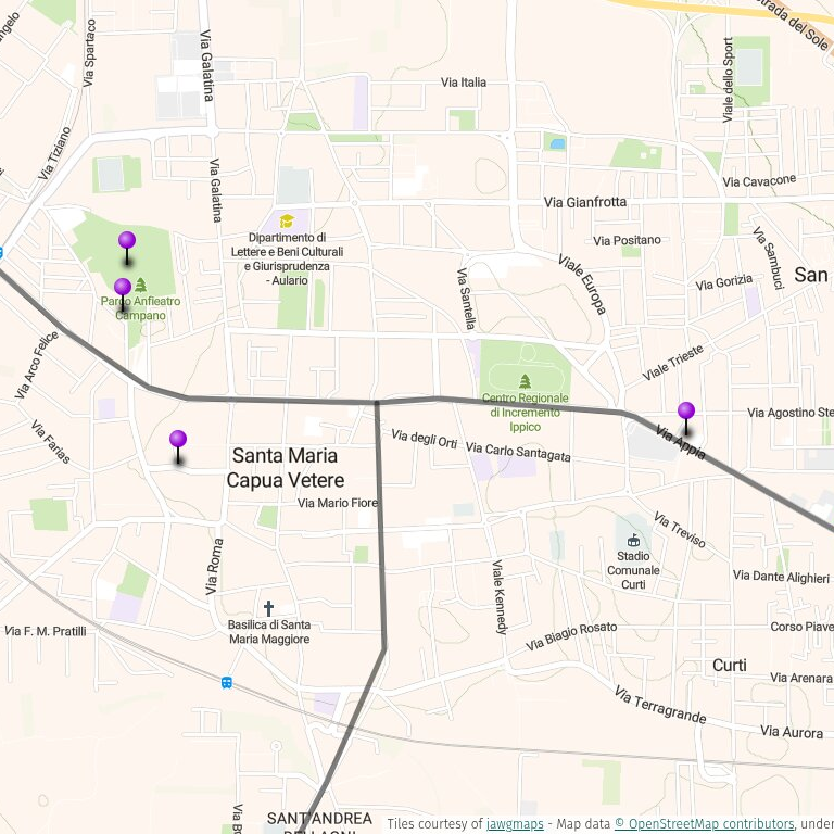
In the middle of the modern town of Aversa it passed beneath the courtyard of the medieval monastery of San Lorenzo ad Septimum. This name preserves the name of the ancient Roman statio that was located somewhere close by, Ad Septimum (at the seventh mile[stone]). From the monastery, the road continued straight northwest (under the modern Via Vecchia di Taverola, then provincial highways SP 7 and SP 13) for seven Roman miles to the outskirts of ancient Capua, now called Santa Maria Capua Vetere. No physical remains of the road have been discovered along this stretch. About a half kilometer further on (probably running under the modern Via Gaetano Saraceni), it arrived at the southern gate of Capua. From there it ran straight north for 800 m into the city center where it intersected with the Via Appia which ran through the city from east to west as its decumanus maximus. Because of the almost level ground during this whole journey, Paul’s party would have been able to make the 21 RM/31 km journey in a single day.
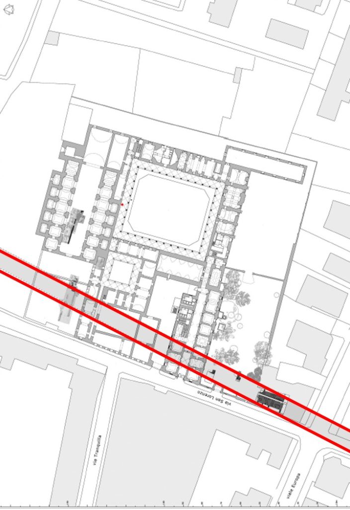
Last updated 03/17/2026 JTS
Created by GLT