Neither the Peutinger Map nor the Antonine Itinerary give any intermediate stops between Pella and Edessa, even though they are 28–30 RM apart (the Peutinger Map mistakenly gives the number 45 for the distance). The Jerusalem Itinerary lists the mutatio Scurio halfway between, i.e. 15 RM, from each city. No concrete traces of the VE remain today, but the modern Highway 2 again seems to follow the track to the best of our knowledge.
From Pella the route probably continued due west for another 500 m before turning northwest. Shortly after rejoining the track of Highway 2, the road passed 100 m south of another pre-Roman Macedonian tomb. Following Highway 2, it skirted the southern edges of Nea Pella and Giannitsa and the northern edge of Melissi. The mutatio Scurio may have been somewhere near Palefito. Others have identified it with the modern village named Skydra (Σκύδρα), but that is too far west, only 8 RM (12 km) from Edessa. The modern highway makes a northward arc before turning west again to pass beneath the southern end of the large rocky outcrop at Mavrovouni, 1.5 km. Following this path makes a distance of 27.6 RM between Pella and Edessa (the Antonine itinerary puts the distance at 28 RM).
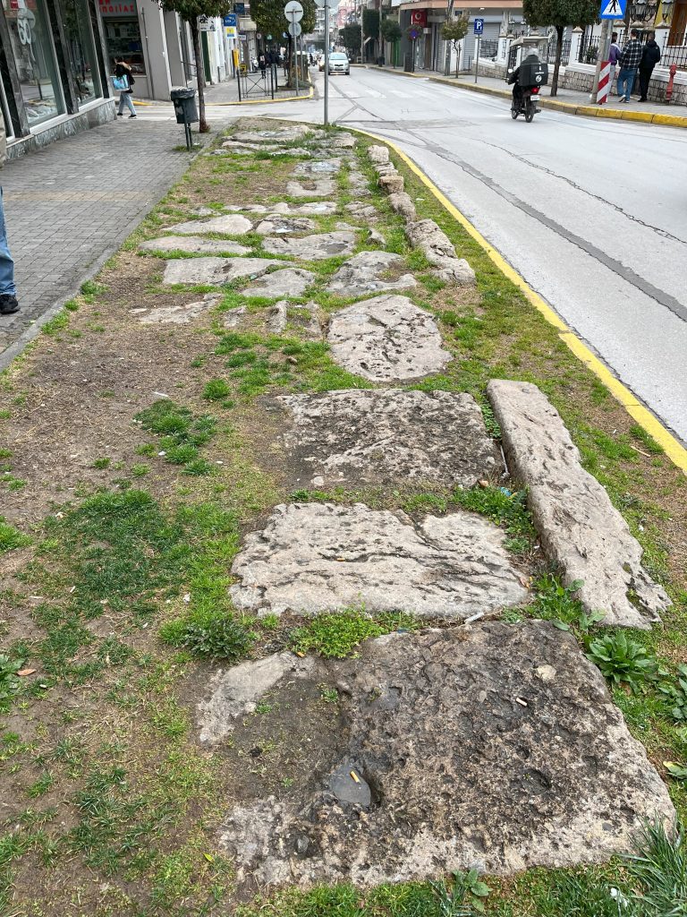
From Mavrovouni the VE probably continued along the path of the modern road through Rizari, although the remains of a Byzantine bridge may indicate that the ancient road followed the higher ground 250 m to the south.1 A milestone measuring number 1 was found in Rizari, thus indicating Edessa as the caput viae for this stretch of the VE. From Rizari it is 2.6 km further to the archaeological site of Edessa. After leaving the path Highway 2, the ancient road continued northwest for 1.1 km before turning westward to the archaeological site.
On his second journey, Paul would not have travelled all the way to Edessa although he would have done so on his third journey if he went to Illyricum (Rom. 15:19).2 A road south to Berea intersected with the VE just east of Edessa.3 The most likely places for this intersection are either 2 or 3.7 km west of Mauvrouni. The two modern roads that go south from these two junctions both lead to the village of Sebastiana after 1.8 km. Although there is nothing to guide us for the next 14 km, M. Hatzopoulos assumes that the road went west of ancient Skydra (on the higher ground south of the modern village of that name), then passed east of the other small Macedonian city of Marina (in the area of the modern village of that name). Thus it may well have followed the path of the modern Veria-Skydra regional road.4
When the road comes to the modern village of Lefkadia it passes through a series of Macedonian tombs associated with the ancient city of Mieza, which later became a kome within the chora of Berea. The modern road runs about 500 m east of Mieza’s ancient gymnasium and theater. Its nymphaeum, 2.5 km southwest of the theater, is also known as the School of Aristotle, for here Alexander was educated by the famous philosopher.5
The distance from Mieza to Berea was another 10 RM (15 km), thus making a comfortable one-day journey of 21 RM (32 km) from the VE to Berea. South of Mieza, the path probably mirrored closely the modern road, passing through or near the intriguingly named village of Stathmos (‘station’). The road now climbed 75 m from the fertile plain to reach the plateau upon which Berea was sited at the foot of the Bermion (modern Vermio) Mountains. Arriving from the north, Paul and his party would have entered Berea through the Royal Gate which led to today’s Venizelou Street which is built over the main Roman road.
Created by GMT & JTS
Last updated 11-05-2025 JTS
- TIB 11.2: 1089 (under Vingani) mentions the remains of a Roman bridge along the road from Berea via Mieza and Skydra to Edessa. The articles cites Papazoglou, Fanoula. Les villes de macédoine a l’époque romaine. Athènes, Paris: Ecole française d’Athènes, dépositaire: Diffusion de Boccard, 1988, p. 130; and Τσότσος, Γεώργιος Π. “Γεφύρια Της Ρωμαικης Περιόδου Στη Μακεδονία.” Archaia Makedonia 6, no. 2 (1999): 1261–65, 1269–70, 1275 for photo. ↩︎
- Schnabel, Eckhard J. “Paul’s Missionary Work in the Provinces of Asia and Illyricum.” Essay. In Lexham Geographic Commentary on Acts through Revelation, 385–97. Bellingham, WA: Lexham Press, 2019, pp. 392–93. ↩︎
- Chatzopoulos, Miltiadēs V. Macedonian Institutions Under the Kings I: A Historic and Epigraphic Study. Vol. 22 of ΜΕΛΕΤΗΜΑΤΑ. Athens: Κέντρον Ελληνικής και Ρωμαϊκής Αρχαιότητος, Εθνικόν Ίδρυμα Ερευνών, 1996, pp. 113. ↩︎
- Ibid., 113-114. ↩︎
- On Mieza see http://odysseus.culture.gr/h/3/gh351.jsp?obj_id=5104. ↩︎