Acts 15:36–41 describes the background to Paul’s second missionary journey. Barnabas “sailed” to Cyprus with John Mark while Paul, accompanied by Silas, went instead “through Syria and Cilicia, strengthening the churches” (v. 41). This implies that he went by land. This would have taken them northward around the Gulf of Alexandretta and westward to Tarsus. 2.2 will discuss the routes from Tarsus to Derbe where Acts 16:1 picks up the narrative.
The land route between Antioch and Tarsus is given in the so-called Jerusalem or Bordeaux Itinerary of the early fourth-century. In what follows we assume that the route had changed little since Paul’s day even though the exact placement of the eating. resting, and sleeping facilities may have varied over time. Since the Itinerary’s distinction between mutatios and mansios does not seem to have come into being until the fourth century, we will refer to each of these more generically as a statio or “way station.”
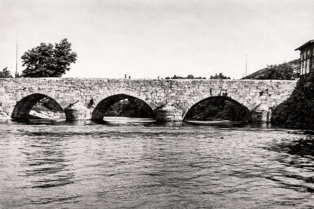
The ancient traveler had two choices when leaving Antioch for the north. The first was to exit through the gate in the western wall known as the Seleucia Gate. Outside the gate and after crossing the Orontes on a bridge that survived until 1972, the road forked. The left branch led to the city’s seaport of Seleucia Pieria (hence the name of the gate). The right fork led northward parallel to and just west of the city wall towards Pagrae. The second option would have been to leave through the northern wall by the so-called East Gate, located just southeast of the current archaeology museum. The road then continued in a northeast direction towards Meroe and Gephyra. After about one Roman mile, another road headed west for another kilometer before crossing the Orontes. This road continued northeast for another Roman mile where it joined the main road northwards toward Pagrae.
From Antioch the road ran northwest at the eastern foot of Mt. Pieria for about 24 km/16.2 RM (as depicted on Barrington map 67). At that point the road appears to have turned north to pass between some hills before arriving at the first statio called Pagrae (16 RM from Antioch according to both the Jerusalem and Antonine Itineraries). The ancient stopover was located near the still visible remains of the Karamurt han (an Ottoman period caravanserai) or near the extant Roman bridge 200 m further northwest. The ancient name was preserved in the nearby Crusader-era Bagras Castle.
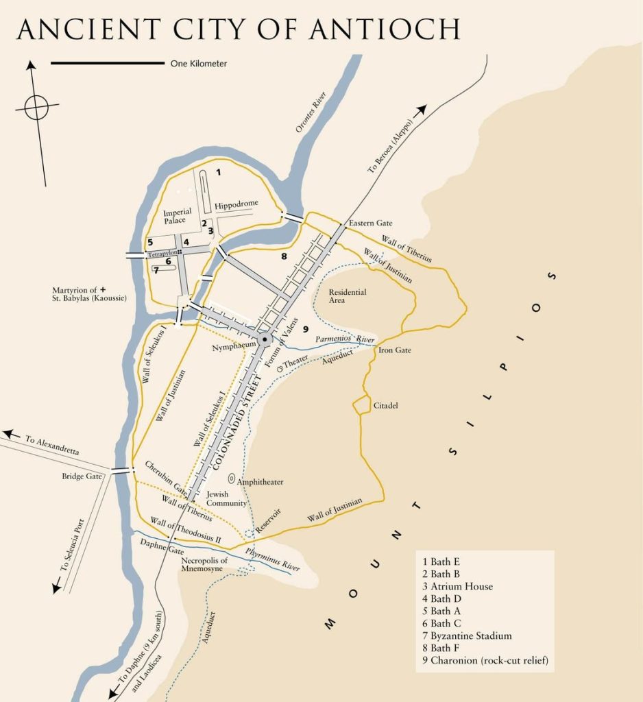
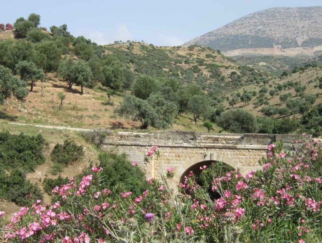
After crossing the bridge, the road leaves the plain and begins a winding ascent northwest across the mountain range. One surviving piece of ancient substructure, still visible beneath the modern road, gives support to the path we illustrate. The narrow mountain pass was referred to as the Syrian Gates since the traveler would have crossed from Syria into Cilicia. With no identifiable remains, it is impossible to specify a more exact location (if there was one). The same holds true for the statio of Pictanus (mentioned in the Jerusalem Itinerary) located in the area of the Gates. It is described in the Itinerary as 8 RM from the Pagrae stop so must have been located in the region of the modern villages of Belen or Halibey. The steep ascent would have taxed any traveler, and Paul would most likely have spent the night at Pictanus.
The next day Paul would have more easily descended along the 9 Roman miles to Alexandria ad Issum (also known as Alexandria Scabiosa; modern Iskenderun). The modern road probably follows the ancient path quite closely. Depending on weather and other circumstances Paul may not have rested briefly at the statio there and instead continued further north along the level coastal plain. From this point all the way to Tarsus, the road would be fairly level, presenting no difficulties for the travelers. After about 7.5 Roman miles (11 km), he would have passed through another narrow passage, the so-called Cilician Gates (not to be confused with the similarly named pass north of Tarsus). The ruins visible today may have been part of a monumental arch commemorating the victory of Septimius Severus over his rival Pescennius Niger in A.D. 194. Since Ottoman times they have been known as Jonah’s Pillar.
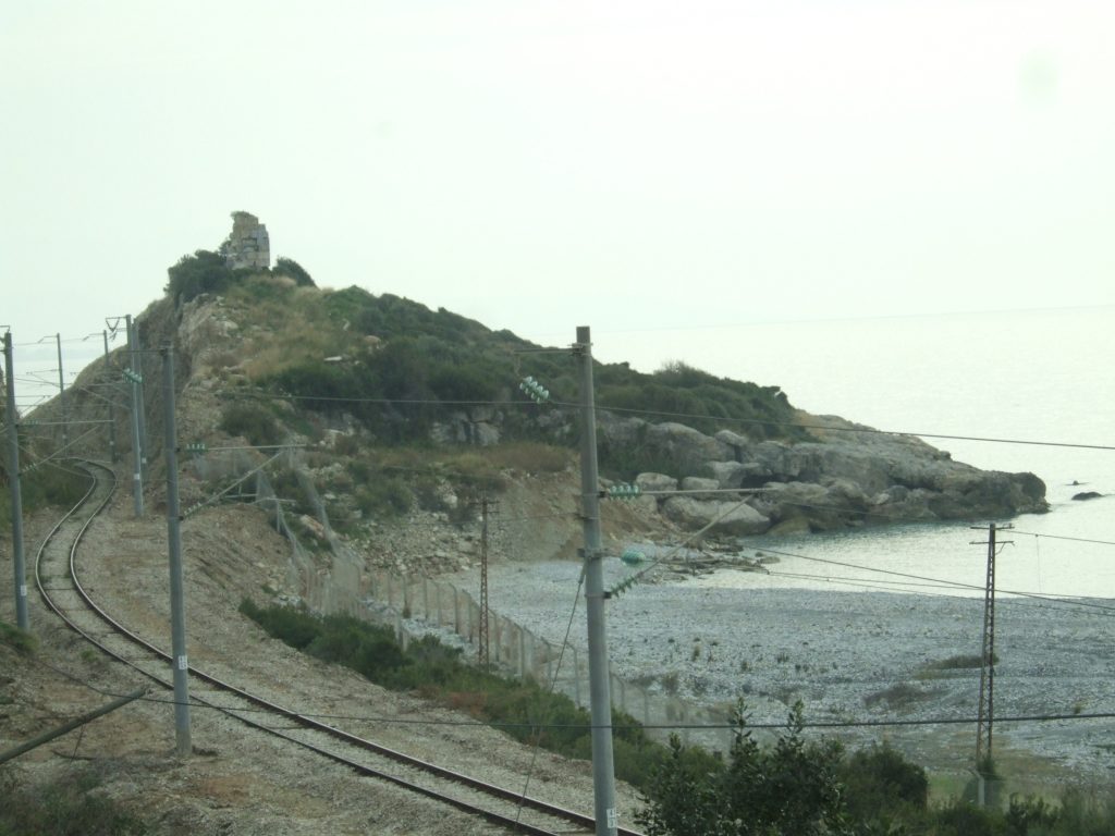
Continuing north along the coast for another 10 Roman miles/16 km brought the party to the the Pinaros River and Baiae (today’s Payas). The statio was probably between the ancient bridge (still extant) and the site of the restored Ottoman han.
The ancient road continued north from Baiae another 12.5 km/8.5 RM, paralleling the coast, until it reached the area where the famous battle of Issus took place between Alexander the Great and the Persian King Darius III in 333 B.C. Here it passed through the city of Nikopolis that Alexander had founded nearby to commemorate his victory. By the time of Paul it had shrunk to a small settlement. The city’s acropolis lay some 500 m from the coast, and we hypothesize that the road ran about 1 km further inland along a route similar to the current highway.
The Jerusalem Itinerary is confusing in this section. It lists 17 RM from Baiae to the statio of Katabolos, 16 RM from there to statio Tardequeia, and then a further 15 RM to Mopsuestia. The total distance (48 RM/71 km) is correct but not the intermediate stops. Not only has Issus seemingly dropped out, but the distances up to Tardequeia do not align. Our reconstruction of the route is as follows.
A few kilometers after leaving Issus, the road begins to swing further west and around the top of the gulf of Alexandretta (or Iskenderun), staying a half kilometer or so from the shoreline. About two kilometers after turning south to follow the coast, Paul’s party would have reached the statio of Katabolos (some 13.5 RM/ 20 km from Issus). Although the city and statio’s location cannot be localized with any certainty, it would seem to be about 1 km east of the so-called Amanian Gates, where the remnants of another monumental arch can still be seen.1
It is at the Amanian Gates where the road leaves the shore and after a kilometer of winding through some low hills emerges on the inland plain heading towards Mopsuestia. The road first passed the statio of Tardequeia. Our reconstruction has the road running northwest through the modern village of Kurtkulaği where there is a well preserved Ottoman caravanserai. Although some have suggested that this is the site of Tardequeia, it is only 5 RM/7.5 km from Katabolos, making this identification unlikely. We suggest that the road continues across the plain in a northwest direction and that the statio may have instead been in the region of the village Körkuyu, 4.5 RM/6.5 km further on.
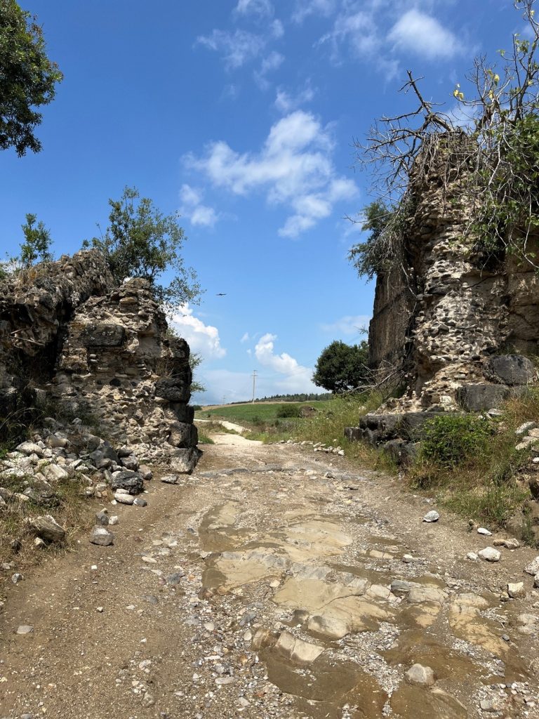
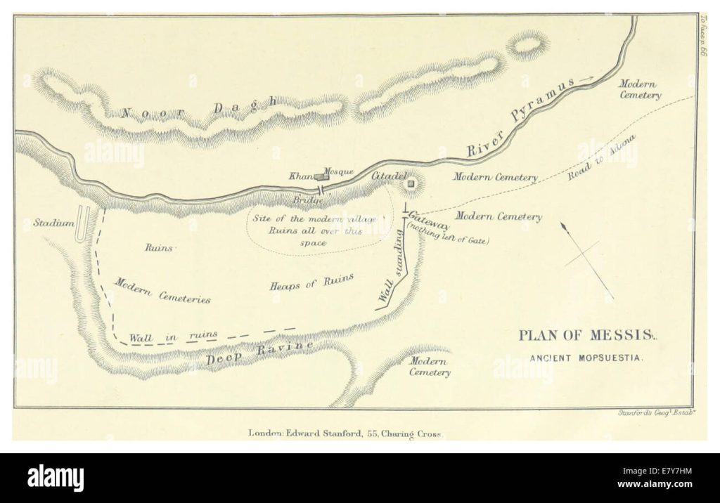
Paul still had another 15 RM/22 km to travel before arriving at the major city of Mopsuestia. The road continued northwest across the plain and, after another 8.5 km it passed near the modern village of Sirkeli. Here the road ran beneath the former Hittite stronghold atop the nearby mound. A famous relief of the Hittite king Muwatalli II (1290–1272 BC) still looks down upon the valley and the road below. At this point the road curves to the southwest, staying on the left bank of the Pyramos River for the last 13 km into Mopsuestia. Another Ottaman caravanserai can be seen just before the Roman bridge which crosses the Pyramos at Mopsuestia. The road most likely passed through the center of the ancient city which has been partly excavated. 350 years later the famous theologian and early commentator on Paul’s letters, Theodore of Mosuestia, would serve as bishop here for over 40 years (392–438).
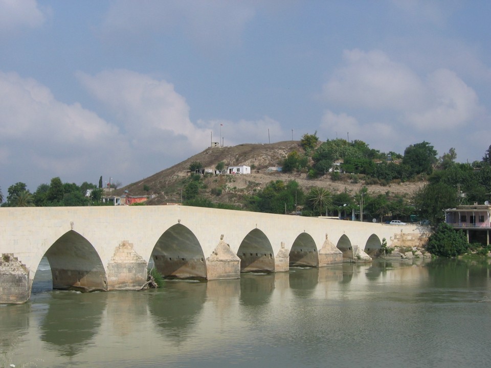
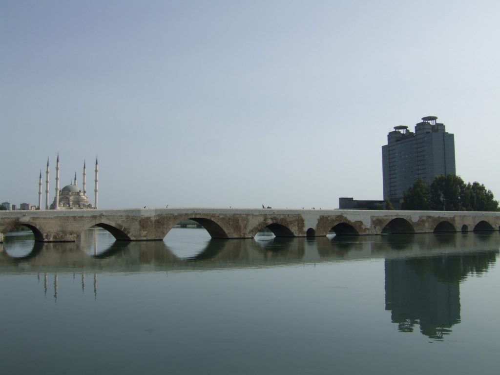
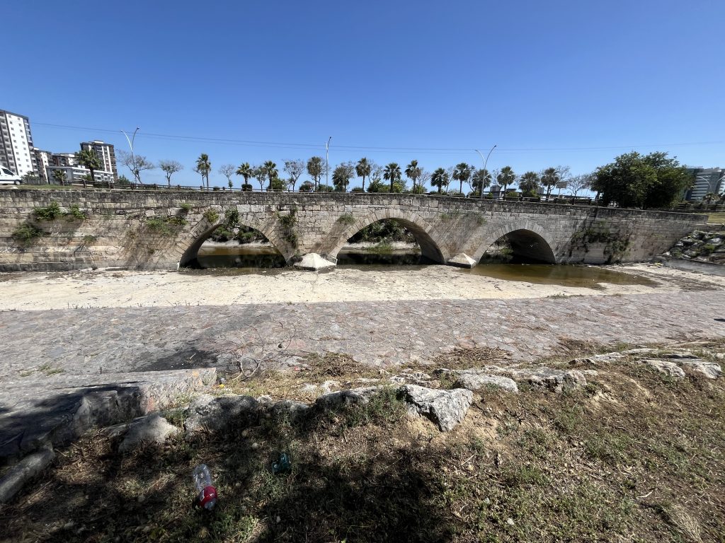
Leaving Mopsuestia through a western gate, Paul and his party would have had an easy days journey of 18 RM/16 km across the level plain to the ancient city of Adana. The bustling modern city has erased all evidence of the ancient road, except for the magnificent 14-arch Roman bridge that still crosses the ancient Saros River. Paul would have crossed this bridge, or its predecessor, to enter Adana. In antiquity it was always a much less important city than nearby Tarsus.
The the final 27 RM/40 km from Adana to Tarsus continued across the fertile plain of “Plain Cilicia” (Kilikia Pedias in Greek). We suggest the ancient route followed the modern highways that still connect the two cities. Halfway was the statio of Pargais, perhaps near the modern village of Gökçeler. From there the road began to turn southwest running straight across the plain to Tarsus. Here again we find a Roman bridge about 2 km from the city center, today called the Baç Bridge. This bridge was built by Justinian in the 6th century after he diverted the Cydnus River to pass to the east of the city. Its original course took it north of the city and then down its western side. However the placement of the bridge may well indicate that the ancient road still followed this track into the city. From here the road may have continued southwest for another 1 RM/1.5 km before entering the eastern gate of the city.
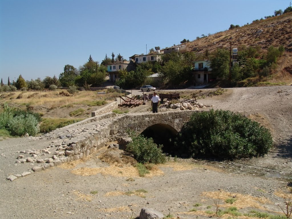
Located at Pagrae (36.421865°N, 36.252°E)
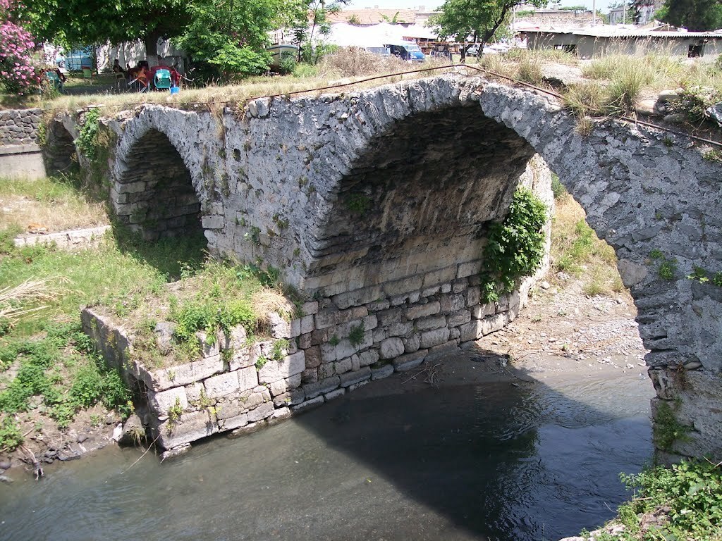
Located at Payas (36.752819°N, 36.203979°E)
Created by GLT
Last updated 06/24/2026 JTS
- The Barrington Atlas labels the gates as the Amanilai Pylai and Ciliciae Portae but wrongly places them at the very top of the gulf, about 3 miles too far east. ↩︎